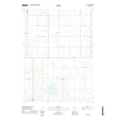
2017 Map of Dora Lake
USGS Topo · Published 2017About this map
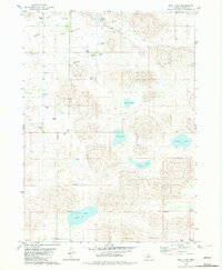
Dora Lake serves as the central focal point of this Holt County landscape, where the sandy, undulating terrain of Nebraska is defined by a network of seasonal wetlands and small water bodies. The map illustrates a strictly rural section of the Sandhills, characterized by a grid-like section-line road system including 870th Rd and 874th Rd. The boundary between Rock and Holt Counties runs vertically through the western portion of the sheet, cutting through the edge of Frazier Lake in the southwest corner. The drainage pattern is sparse, with Dry Cr appearing in the northeast, reflecting the highly permeable nature of this environment. This survey captures a remote ranching landscape where the presence of water determines the utility of the land, as seen in the concentration of named features around the primary basins.
Find a feature on this map
20 named features on this map. Tap any name to fly to it.
Don’t see what you’re looking for? This feature index may not catch every label — zoom into the map to look around manually.
Map Details
Editions of this 2017 Dora Lake Map
This is the sole edition of this map. No revisions or reprints were ever made.
Other maps of this area
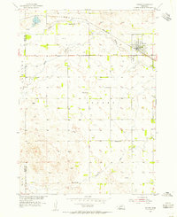
1954 · Stuart
USGS Topo · 1:24,000
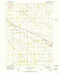
1954 · Stuart SE
USGS Topo · 1:24,000
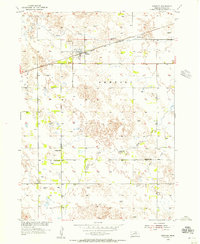
1954 · Newport
USGS Topo · 1:24,000

1955 · O'Neill
USGS Topo · 1:250,000

1959 · O'Neill
USGS Topo · 1:250,000
1969 · O'Neill
USGS Topo · 1:250,000
1982 · Cottonwood Lake
USGS Topo · 1:24,000
1982 · Sybrant
USGS Topo · 1:24,000
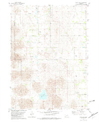
1982 · Dora Lake
USGS Topo · 1:24,000
1982 · Pony Lake
USGS Topo · 1:24,000