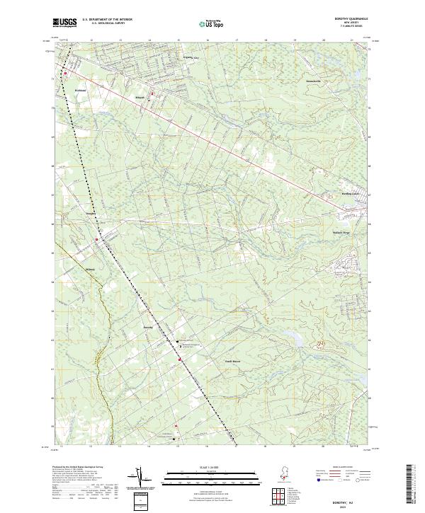
2023 Map of Dorothy
USGS Topo · Published 2023About this map
The Tuckahoe River winds through the low-lying Pinelands of southern New Jersey, marking the boundary between Cumberland and Atlantic counties. This coastal plain landscape is defined by its extensive wetlands and drainage networks, including the South River, James Branch, and Stephen Creek. The settlement pattern reveals a grid of small communities and rural outposts like Dorothy, Mizpah, and Estell Manor, often positioned along established corridors like the W Jersey Blvd and Railroad Blvd. Genealogists may find value in the documentation of local burial sites, such as the Saint Bernard Cem and the Bethlehem Evangelical Lutheran Cem. The presence of uniquely named areas like Gigantic City and the historic site of Walkers Forge speaks to the region's diverse industrial and developmental history within the Atlantic County interior.
Find a feature on this map
148 named features on this map. Tap any name to fly to it.
Don’t see what you’re looking for? This feature index may not catch every label — zoom into the map to look around manually.
Map Details
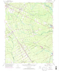
Editions of this 2023 Dorothy Map
This is the sole edition of this map. No revisions or reprints were ever made.
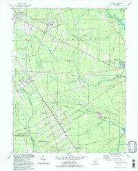
Historical Maps of Estell Manor Through Time
3 maps found
Featured Locations
- Hamilton Township, NJ
- Buena Vista Township, NJ
- Weymouth Township, NJ
- Estell Manor, NJ
- Maurice River Township, NJ