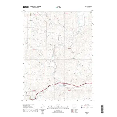
2019 Map of Dotsero
USGS Topo · Published 2019About this map
Dotsero serves as the focal point for this high-altitude landscape, situated where the Eagle River joins the Colorado River at the eastern gateway to Glenwood Canyon. This confluence has historically shaped the local transit and settlement patterns, now modernly traced by Us HWY 6 and the Eagle Valley Trail. The terrain is characterized by dramatic elevation shifts, moving from the river valley floor up to prominent features like Dotsero Crater and Onion Ridge.
Find a feature on this map
52 named features on this map. Tap any name to fly to it.
Don’t see what you’re looking for? This feature index may not catch every label — zoom into the map to look around manually.
Map Details
Editions of this 2019 Dotsero Map
This is the sole edition of this map. No revisions or reprints were ever made.
Other maps of this area

1927 · Glenwood Springs
USGS Topo · 1:125,000

1930 · Glenwood Springs
USGS Topo · 1:125,000

1957 · Leadville
USGS Topo · 1:250,000

1959 · Leadville
USGS Topo · 1:250,000

1960 · Leadville
USGS Topo · 1:250,000

1961 · Cottonwood Pass
USGS Topo · 1:24,000

1961 · Shoshone
USGS Topo · 1:24,000

1962 · Leadville
USGS Topo · 1:250,000

1962 · Gypsum
USGS Topo · 1:24,000
1962 · Suicide Mountain
USGS Topo · 1:24,000