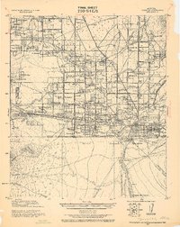
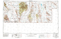
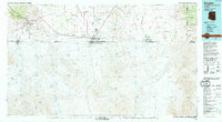
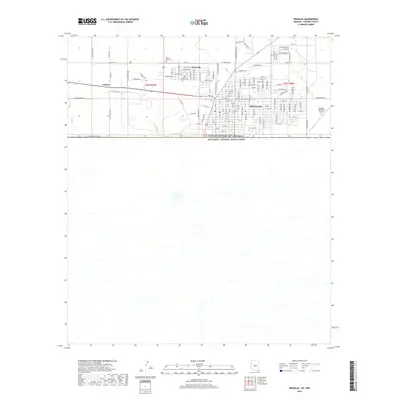
1933 Map of Douglas
USGS Topo · Published 1933About this map
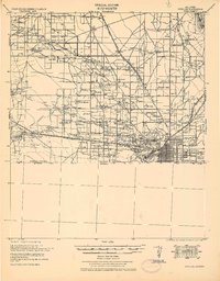
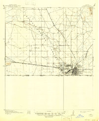
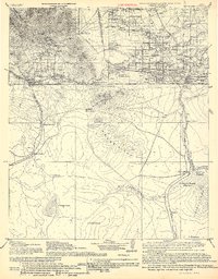
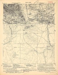
Industrial expansion and border-town development define this southern Arizona landscape, where the Copper Queen Smelter and Calumet and Arizona Smelter dominate the outskirts of Douglas. The map documents a complex network of ranching and irrigation, featuring the King Irrigation Ditch and numerous family holdings such as the Cross U Bar Ranch (Stephenson) and Copper Queen Ranch.
Find a feature on this map
116 named features on this map. Tap any name to fly to it.
Don’t see what you’re looking for? This feature index may not catch every label — zoom into the map to look around manually.
Map Details
Editions of this 1933 Douglas Map
This is the sole edition of this map. No revisions or reprints were ever made.
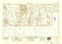
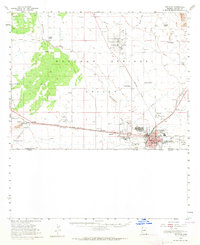
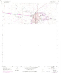
Historical Maps of Paul Spur Through Time
16 maps found
1914 Douglas
Cochise County, AZ
1916 Douglas
Cochise County, AZ
1919 Douglas
Cochise County, AZ
1925 Douglas
Cochise County, AZ
1933 Douglas
Cochise County, AZ
1955 Douglas
Cochise County, AZ
1958 Douglas
Cochise County, AZ
1958 Douglas
Cochise County, AZ
1959 Douglas
Cochise County, AZ

1961 Douglas
Cochise County, AZ

1964 Douglas
Cochise County, AZ
1994 Douglas
Cochise County, AZ
2011 Douglas
Cochise County, AZ
2014 Douglas
Cochise County, AZ
2018 Douglas
Cochise County, AZ
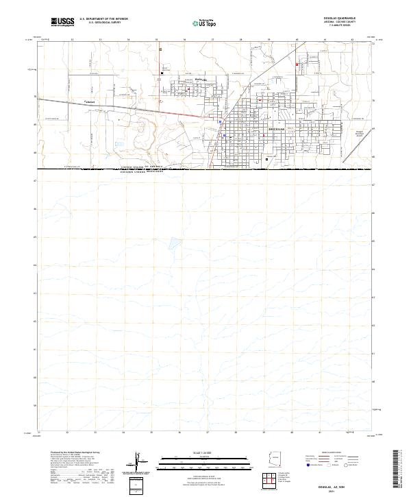
2021 Douglas
Cochise County, AZ