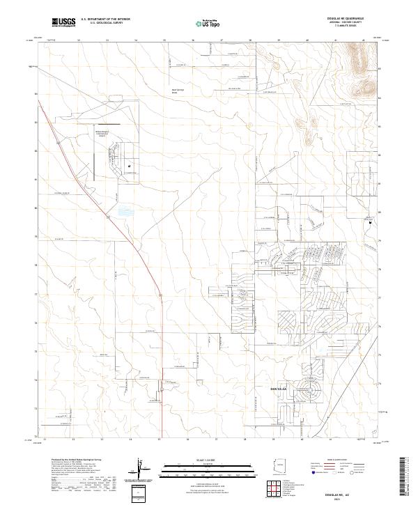
2021 Map of Douglas NE
USGS Topo · Published 2021About this map
The northern reaches of Douglas anchor this Cochise County landscape, where the residential expansion of the city meets the high desert floor. The map highlights a transition from the urban grid to more decentralized developments like Son Shine Acres. To the west, the sprawling footprint of the Bisbee Douglas International Airport reflects the region's historical and modern significance as a transportation hub near the international border. A distinctive genealogical landmark, the Wells Family Cem, is situated on the eastern side of the quadrangle, preserving local family heritage amidst the desert scrub.
Find a feature on this map
62 named features on this map. Tap any name to fly to it.
Don’t see what you’re looking for? This feature index may not catch every label — zoom into the map to look around manually.
Map Details
Editions of this 2021 Douglas NE Map
This is the sole edition of this map. No revisions or reprints were ever made.
Other maps of this area

1914 · Douglas
USGS Topo · 1:62,500

1916 · Pearce
USGS Topo · 1:125,000

1916 · Douglas
USGS Topo · 1:125,000

1917 · Chiricahua
USGS Topo · 1:125,000

1919 · Douglas
USGS Topo · 1:125,000

1919 · Perilla
USGS Topo · 1:125,000

1919 · Chiricahua
USGS Topo · 1:125,000

1922 · Swisshelm
USGS Topo · 1:62,500

1925 · Douglas
USGS Topo · 1:62,500

1926 · Pedregosa
USGS Topo · 1:62,500