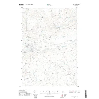
2018 Map of Dover-Foxcroft
USGS Topo · Published 2018About this map
The Piscataquis River bisects this Maine landscape, serving as the central corridor for the shire town of Dover-Foxcroft. Modern development centers on the intersection of the river and local roads like River St and Main St, while outlying settlements such as East Dover and South Dover maintain their identity through local landmarks and historic burial grounds. The map reveals a high concentration of genealogical resources, including Harriman Cem, Lee Cem, and the South Dover Cem.
Find a feature on this map
78 named features on this map. Tap any name to fly to it.
Don’t see what you’re looking for? This feature index may not catch every label — zoom into the map to look around manually.
Map Details
Editions of this 2018 Dover-Foxcroft Map
This is the sole edition of this map. No revisions or reprints were ever made.
Other maps of this area

1932 · Dover-Foxcroft
USGS Topo · 1:48,000

1933 · Guilford
USGS Topo · 1:62,500

1935 · Dover-Foxcroft
USGS Topo · 1:62,500

1937 · Guilford
USGS Topo · 1:62,500

1940 · Sebec
USGS Topo · 1:48,000

1943 · Sebec
USGS Topo · 1:62,500

1950 · Sebec Lake
USGS Topo · 1:62,500

1954 · Millinocket
USGS Topo · 1:250,000

1958 · Millinocket
USGS Topo · 1:250,000

1960 · Millinocket
USGS Topo · 1:250,000