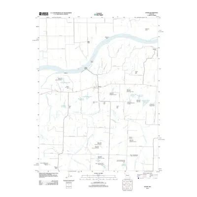
2012 Map of Dover
USGS Topo · Published 2012About this map
The Missouri River carves a dramatic northern boundary for this Lafayette County landscape, shaping geographic features like Baltimore Bend and Berun Bend near the riverfront settlement of Miles Point. The interior is defined by a dense network of water management, evidenced by numerous watershed structures and named reservoirs such as Lafayette E-20 Lake and Luehrman Lake. These features reveal a modern agricultural landscape heavily engineered for soil and water conservation along the tributaries of Tabo Creek and Little Tabo Creek.
Find a feature on this map
82 named features on this map. Tap any name to fly to it.
Don’t see what you’re looking for? This feature index may not catch every label — zoom into the map to look around manually.
Map Details
Editions of this 2012 Dover Map
This is the sole edition of this map. No revisions or reprints were ever made.
Other maps of this area

1889 · Lexington
USGS Topo · 1:125,000

1949 · Mayview
USGS Topo · 1:24,000

1949 · Lexington East
USGS Topo · 1:24,000

1950 · Lexington East
USGS Topo · 1:24,000

1950 · Mayview
USGS Topo · 1:24,000

1950 · Dover
USGS Topo · 1:24,000
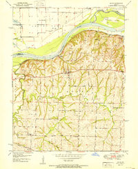
1951 · Dover
USGS Topo · 1:24,000

1951 · Alma
USGS Topo · 1:24,000
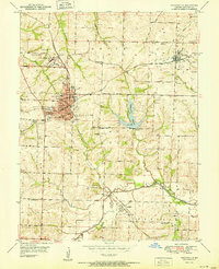
1951 · Higginsville
USGS Topo · 1:24,000

1951 · Waverly
USGS Topo · 1:24,000