
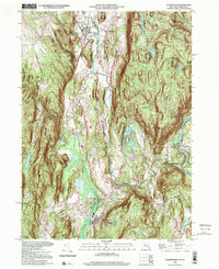
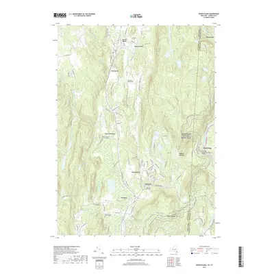
2023 Map of Dover Plains
USGS Topo · Published 2023About this map
Dover Plains and the surrounding valley of the Tenmile River define this corner of Dutchess County, where the New York and Connecticut border winds through high ridges like Chestnut Ridge and Schaghticoke Mtn. This modern survey reveals a landscape deeply rooted in family history, preserving the locations of the Hoag Family Burial Ground and Sheldon Family Burial Ground near Wingdale. The local geography is marked by distinct settlements such as Oniontown, Dover Furnace, and Webatuck, each established along the waterways and hillsides that shaped the region’s early development.
Find a feature on this map
79 named features on this map. Tap any name to fly to it.
Don’t see what you’re looking for? This feature index may not catch every label — zoom into the map to look around manually.
Map Details
Editions of this 2023 Dover Plains Map
This is the sole edition of this map. No revisions or reprints were ever made.
Historical Maps of Dover Through Time
9 maps found
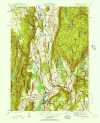
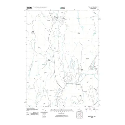
1944 Dover Plains
Dutchess County, NY
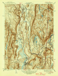
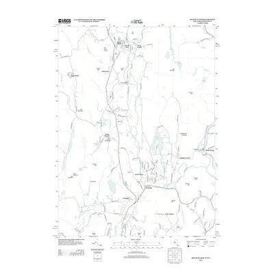
1947 Dover Plains
Dutchess County, NY
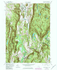
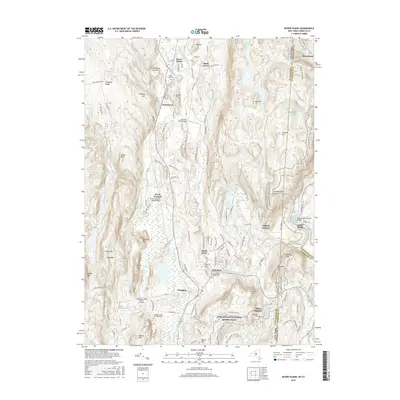
1958 Dover Plains
Dutchess County, NY
1998 Dover Plains
Dutchess County, NY
2010 Dover Plains
Dutchess County, NY
2013 Dover Plains
Dutchess County, NY
2016 Dover Plains
Dutchess County, NY
2019 Dover Plains
Dutchess County, NY
2023 Dover Plains
Dutchess County, NY