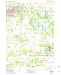
1981 Map of Dowagiac
USGS Topo · Published 1982About this map
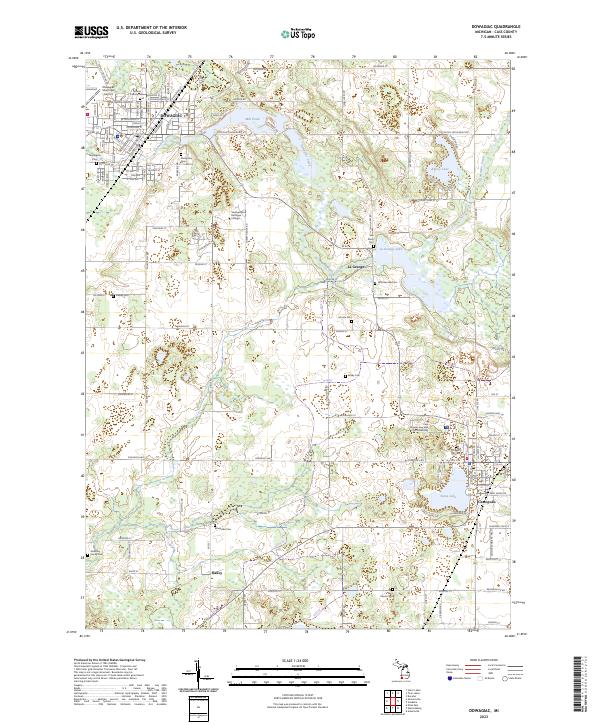
Dowagiac serves as the primary urban hub of this late-twentieth-century landscape, positioned at the convergence of several townships including Silver Creek, Wayne, and Pokagon. The map reveals a community defined by its water and educational infrastructure, from the industrial presence of Mill Pond and Dowagiac Creek to the campus of Southwestern Michigan College. Further south, Cassopolis anchors the lower portion of the sheet between Stone Lake and the Fairground, illustrating the typical development pattern of lakeside settlement in southern Michigan. The presence of specialized sites like Living Waters Camp, Camp Baber, and the Cass County Medical Care Facility indicates a region that matured beyond agriculture into a center for recreation, health services, and education. Local history is well-preserved through a network of rural cemeteries including Van Riper Cem and Whitmanville Cem, while the Amtrak line maintains the historical rail corridor through the heart of the county.
Find a feature on this map
60 named features on this map. Tap any name to fly to it.
Don’t see what you’re looking for? This feature index may not catch every label — zoom into the map to look around manually.
Map Details
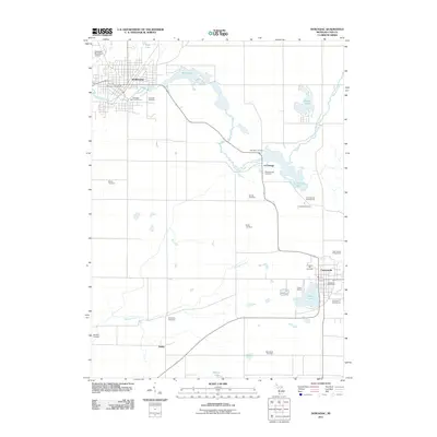
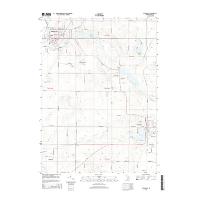
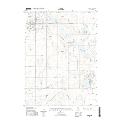
Editions of this 1981 Dowagiac Map
This is the sole edition of this map. No revisions or reprints were ever made.
Historical Maps of Dowagiac Through Time
6 maps found
Featured Locations
- Dowagiac, MI
- Howard Township, MI
- LaGrange Township, MI
- Silver Creek Township, MI
- Cassopolis, LaGrange Township