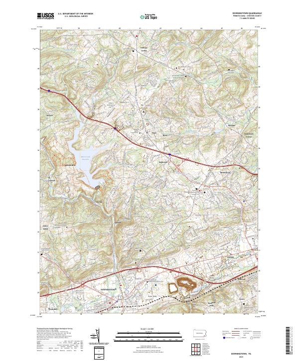
2023 Map of Downingtown
USGS Topo · Published 2023About this map
The East Branch Brandywine Creek winds southward through the center of this region, passing through a corridor of established settlements and historic congregational sites. In the southern portion of the map, the industrial and transport hub of Downingtown sits at the junction of the Chester Valley, where legacy landmarks like the Downingtown Friends Meetinghouse and Northwood Cem provide essential reference points for genealogists. To the north, the landscape is defined by the Marsh Creek Reservoir and the adjacent Marsh Creek State Park, a significant geographical feature that altered the local terrain near Milford Mills. This modern survey details a complex network of suburban growth intermingled with deep-rooted community foundations, from the Uwchlan Friends Burial Ground Lutheran Church in Lionville to the quiet crossroads of Ludwigs Corner and Ketch Corner.
Find a feature on this map
68 named features on this map. Tap any name to fly to it.
Don’t see what you’re looking for? This feature index may not catch every label — zoom into the map to look around manually.
Map Details
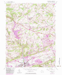
Editions of this 2023 Downingtown Map
This is the sole edition of this map. No revisions or reprints were ever made.
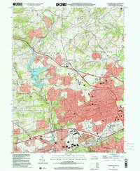
Historical Maps of Ackworth Through Time
3 maps found
Featured Locations
- Downingtown, PA
- Wallace Township, PA
- Caln Township, PA
- West Pikeland Township, PA
- Lionville, Uwchlan Township