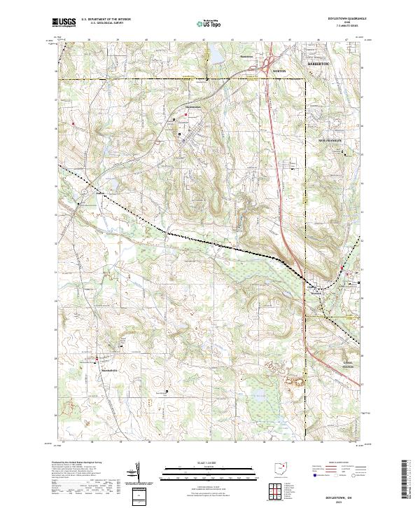
2023 Map of Doylestown
USGS Topo · Published 2023About this map
The rolling agricultural and residential landscape of Doylestown and Marshallville transitions toward the industrial and riparian corridors of the Tuscarawas River. This contemporary survey details a complex boundary zone where Wayne, Summit, Medina, and Stark counties meet, anchoring local history at points like Clinton and Warwick. The geography is defined by the winding course of Chippewa Creek and the historical terrain of Rogues Hollow, a name that evokes the area's rich local lore. Several family and community resting places, including Saint Peters and Pauls Cem and Marshallville Cem, provide essential data points for genealogical research.
Find a feature on this map
77 named features on this map. Tap any name to fly to it.
Don’t see what you’re looking for? This feature index may not catch every label — zoom into the map to look around manually.
Map Details
Editions of this 2023 Doylestown Map
This is the sole edition of this map. No revisions or reprints were ever made.
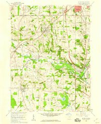
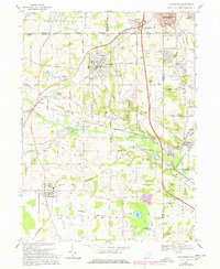
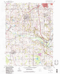
Historical Maps of Hametown Through Time
4 maps found