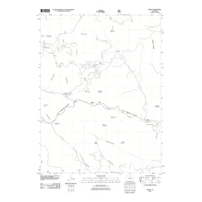
2011 Map of Drake
USGS Topo · Published 2011About this map
The Big Thompson Canyon corridor dictates the movement and settlement patterns of this Front Range landscape, where the Big Thompson River and its north fork meet. Small residential clusters like Drake, Waltonia, and Midway cling to the narrow canyon floor, serviced by the Big Thompson Canyon Rd. Higher elevations reveal a different character of land use, from the recreational access at Round Mountain Trailhead to the industrial history represented by the Hyatt Mine and mining interests like the Hide-a-way Claim.
Find a feature on this map
63 named features on this map. Tap any name to fly to it.
Don’t see what you’re looking for? This feature index may not catch every label — zoom into the map to look around manually.
Map Details
Editions of this 2011 Drake Map
This is the sole edition of this map. No revisions or reprints were ever made.
Other maps of this area

1905 · Mount Olympus
USGS Topo · 1:62,500

1906 · Loveland
USGS Topo · 1:62,500

1906 · Fort Collins
USGS Topo · 1:62,500

1907 · Mount Olympus
USGS Topo · 1:62,500

1907 · Livermore
USGS Topo · 1:125,000

1908 · Loveland
USGS Topo · 1:62,500

1908 · Fort Collins
USGS Topo · 1:62,500

1909 · Livermore
USGS Topo · 1:125,000

1954 · Greeley
USGS Topo · 1:250,000

1957 · Greeley
USGS Topo · 1:250,000