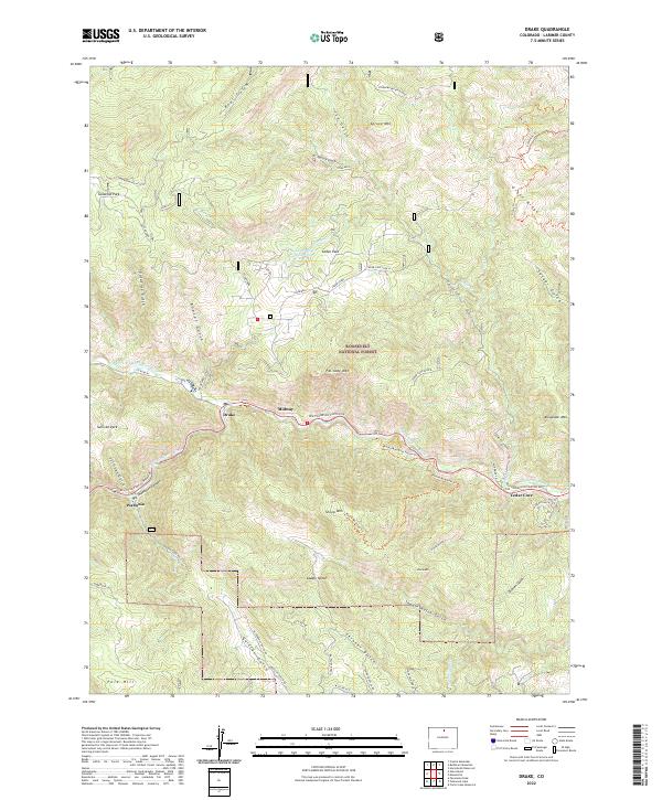
2022 Map of Drake
USGS Topo · Published 2022About this map
The Big Thompson River and its northern fork carve through the heart of this Larimer County landscape, dictating the settlement patterns of Drake, Midway, and Waltonia. These communities are tied closely to the path of Big Thompson Canyon Rd, which serves as the primary artery through the steep terrain of the Roosevelt National Forest. High-elevation features like Spruce Mtn and Palisade Mtn overlook a complex network of gulches, including Bobcat Gulch and Sullivan Gulch, that drain toward the river floor.
Find a feature on this map
61 named features on this map. Tap any name to fly to it.
Don’t see what you’re looking for? This feature index may not catch every label — zoom into the map to look around manually.
Map Details
Editions of this 2022 Drake Map
This is the sole edition of this map. No revisions or reprints were ever made.
Other maps of this area

1905 · Mount Olympus
USGS Topo · 1:62,500

1906 · Loveland
USGS Topo · 1:62,500

1906 · Fort Collins
USGS Topo · 1:62,500

1907 · Mount Olympus
USGS Topo · 1:62,500

1907 · Livermore
USGS Topo · 1:125,000

1908 · Loveland
USGS Topo · 1:62,500

1908 · Fort Collins
USGS Topo · 1:62,500

1909 · Livermore
USGS Topo · 1:125,000

1954 · Greeley
USGS Topo · 1:250,000

1957 · Greeley
USGS Topo · 1:250,000