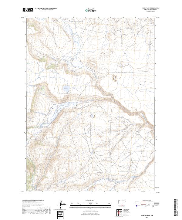
2023 Map of Drake Peak NE
USGS Topo · Published 2023About this map
Sid Luce Reservoir and a network of engineered irrigation channels define this high-desert drainage system in Lake County. The map details the historical management of water across the landscape, anchored by the Luce Ditch, Priday Ditch, and Allen Ditch. These human-made features interact with the natural flow of Honey Creek and Snyder Creek, illustrating the long-standing importance of water rights and agricultural infrastructure in this part of Oregon.
Find a feature on this map
21 named features on this map. Tap any name to fly to it.
Don’t see what you’re looking for? This feature index may not catch every label — zoom into the map to look around manually.
Map Details
Editions of this 2023 Drake Peak NE Map
This is the sole edition of this map. No revisions or reprints were ever made.
Other maps of this area

1955 · Klamath Falls
USGS Topo · 1:250,000

1955 · Adel
USGS Topo · 1:250,000

1957 · Adel
USGS Topo · 1:250,000

1958 · Klamath Falls
USGS Topo · 1:250,000

1958 · Adel
USGS Topo · 1:250,000

1962 · Adel
USGS Topo · 1:250,000

1967 · Plush
USGS Topo · 1:24,000

1967 · Rabbit Hills SW
USGS Topo · 1:24,000

1967 · Priday Reservoir
USGS Topo · 1:24,000

1968 · Crook Peak
USGS Topo · 1:24,000