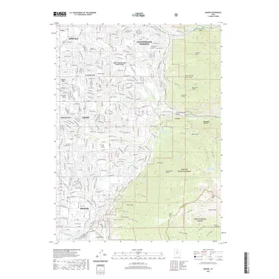
2020 Map of Draper
USGS Topo · Published 2020About this map
Draper and Sandy sit at the foot of the Wasatch Range in this detailed survey of the southeastern Salt Lake Valley. The map documents a landscape defined by the intersection of residential expansion and significant mountain geography, where suburban developments like White City and Cottonwood Heights meet the steep canyons of the Wasatch National Forest. For genealogists and local historians, several burial sites are recorded, including the Union Fort Pioneer Cem and Granite City Cem. Water management is central to the area's development, evidenced by the Draper Canal, Salt Lake Aqueduct, and numerous mountain drainages such as Bells Canyon and Dry Gulch. High-elevation landmarks like Lone Peak and the alpine basins of First Hamongog and Second Hamongog dominate the eastern half of the sheet, providing a clear view of the interface between the urban valley and the high wilderness.
Find a feature on this map
59 named features on this map. Tap any name to fly to it.
Don’t see what you’re looking for? This feature index may not catch every label — zoom into the map to look around manually.
Map Details
Editions of this 2020 Draper Map
This is the sole edition of this map. No revisions or reprints were ever made.
Other maps of this area

1885 · Salt Lake
USGS Topo · 1:250,000

1925 · Ft. Douglas
USGS Topo · 1:125,000

1928 · Ft. Douglas
USGS Topo · 1:125,000

1948 · Timpanogos Cave
USGS Topo · 1:24,000

1948 · Orem
USGS Topo · 1:62,500

1950 · Timpanogos Cave
USGS Topo · 1:24,000

1951 · Jordan Narrows
USGS Topo · 1:24,000

1951 · Lehi
USGS Topo · 1:24,000

1951 · Salt Lake City South
USGS Topo · 1:24,000

1951 · Midvale
USGS Topo · 1:24,000