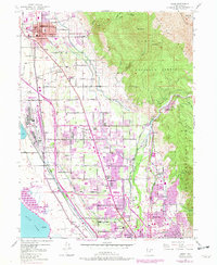
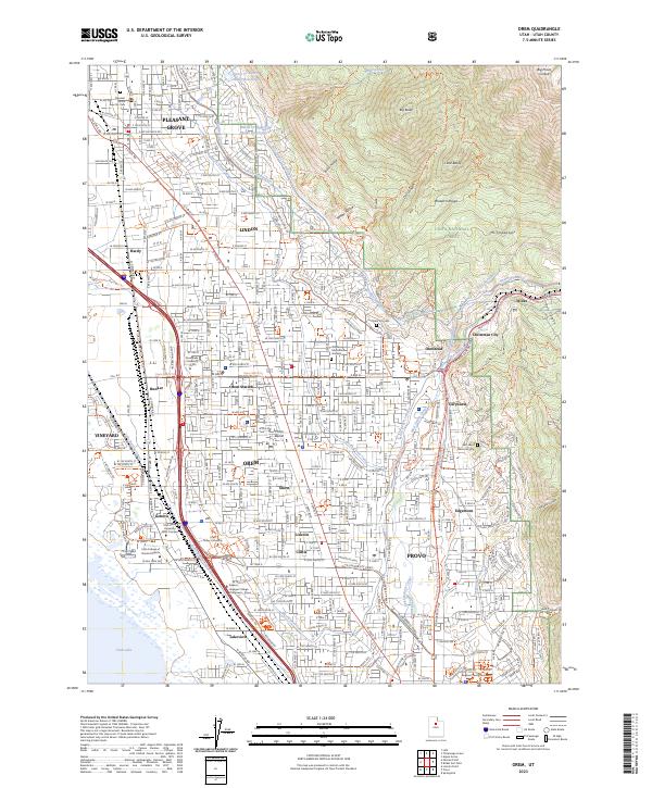
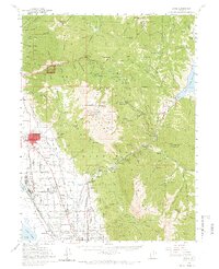
1948 Map of Orem
USGS Topo · Published 1959About this map
Industrial expansion and alpine recreation converge in this mid-century portrait of the eastern edge of Utah Lake. The massive Steel Plant and its adjacent Bunker dominate the lakefront, reflecting the wartime and post-war growth that shaped Orem and Provo. To the east, the steep ascent into the Uinta National Forest reveals a landscape of high peaks like Mt Timpanogos and Box Elder Peak, alongside deep canyons where the Provo River cuts through to the valley. Cultural and educational footprints are densely mapped, from the Alpine Summer School (BYU) at Aspen Grove to rural hubs like the Vineyard School. Notable landmarks like Bridal Veil Falls and Timpanogos Cave highlight the region's long-standing draw for visitors, while the detailed network of the Denver and Rio Grande Western Railroad and Union Pacific Railroad shows the critical transportation infrastructure of the era.
Find a feature on this map
164 named features on this map. Tap any name to fly to it.
Don’t see what you’re looking for? This feature index may not catch every label — zoom into the map to look around manually.
Map Details
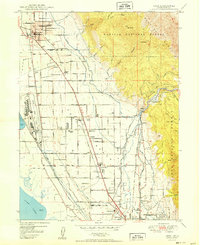
Editions of this 1948 Orem Map
2 editions found
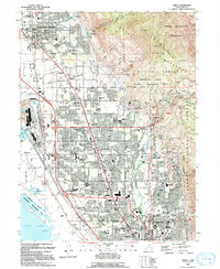
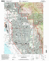
Historical Maps of Provo Through Time
6 maps found