
Loading...
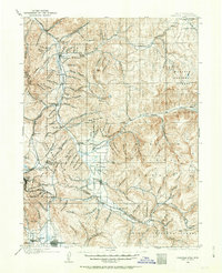
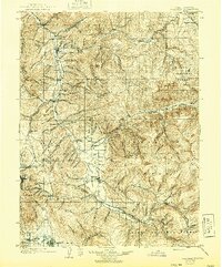
Loading map...1900 Map of Coalville
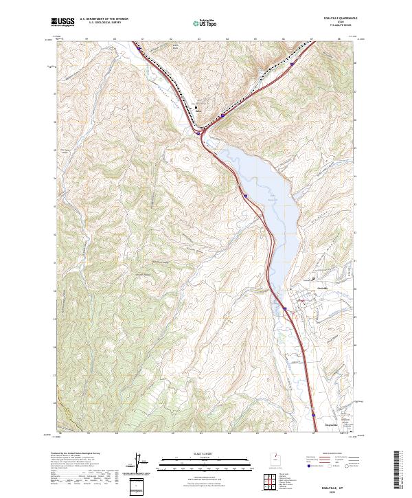
USGS Topo · Published 1955About this map
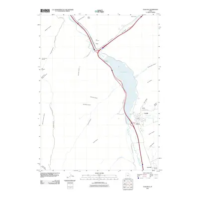
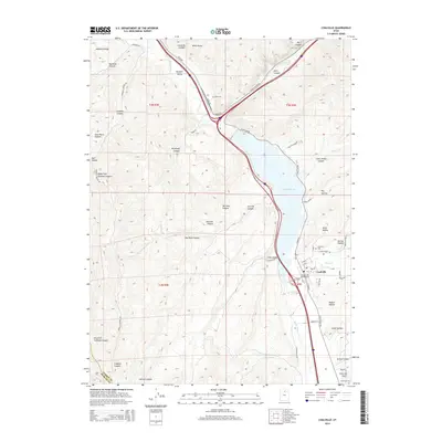
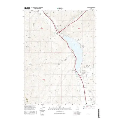
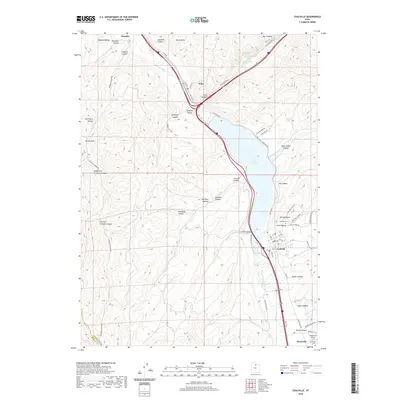
Coalville serves as the regional hub at the turn of the century, positioned where the Union Pacific R.R. meets the waters of Chalk Creek and the Weber River. This 1899-1900 survey captures the high mountain valleys of Summit Co and Wasatch Co before the creation of modern reservoirs altered the landscape. To the south, the industrial influence of the mining district is evident near Park City, where the Ontario Drain Tunnel represents a massive engineering feat of the era.
Find a feature on this map
172 named features on this map. Tap any name to fly to it.
Don’t see what you’re looking for? This feature index may not catch every label — zoom into the map to look around manually.
Map Details
Date Portrayed1900
Date Published1955
PublisherU.S. Geological Survey
Map TypeTopographic
Scale1:125,000
Physical Dimensions17 x 20.9 inches
Editions of this 1900 Coalville Map
2 editions found
Historical Maps of Heber City Through Time
9 maps found
Featured Locations
Source Details
SourceU.S. Geological Survey
CopyrightPublic Domain