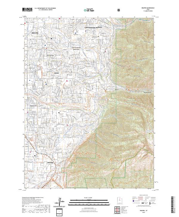
2023 Map of Draper
USGS Topo · Published 2023About this map
Draper and Sandy anchor this detailed study of the southeastern Salt Lake Valley as it transitions from dense residential centers to the soaring peaks of the Wasatch Range. The complex water infrastructure necessary for this high-desert environment is clearly visible, featuring the East Jordan Canal, Draper Irrigation Canal, and both the Salt Lake Valley Aqueduct and Salt Lake City Aqueduct. These systems parallel the natural drainage of Dry Creek and Willow Creek. Genealogists will find significant value in the documentation of local burial sites, including Union Fort Pioneer Cem, Sandy City Cem, and the Granite City Cem. To the east, the map details the transition into protected lands like the Lone Peak Wilderness and Wasatch National Forest, where steep terrain is marked by Bells Canyon and the prominent Lone Peak.
Find a feature on this map
99 named features on this map. Tap any name to fly to it.
Don’t see what you’re looking for? This feature index may not catch every label — zoom into the map to look around manually.
Map Details
Editions of this 2023 Draper Map
This is the sole edition of this map. No revisions or reprints were ever made.
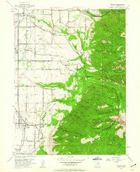
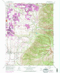
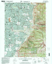
Historical Maps of Raintree Village Through Time
4 maps found