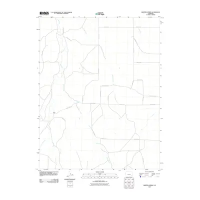
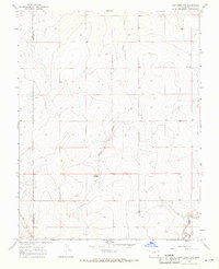
2010 Map of Dripping Spring
USGS Topo · Published 2010About this map
Selders Ranch stands as a primary landmark in this ranching landscape of Bent County, where the terrain is defined by a dendritic network of seasonal drainages. The naming of these waterways, such as Little Angry Creek, Rattlesnake Creek, and Cat Creek, suggests the challenges and character of the local environment. A complex grid of agricultural and access routes, including County Road M and County Road 32, overlays the natural course of Mud Creek and its tributary, East Mud Creek. The namesake Dripping Spring provides a rare water point in an otherwise arid expanse, marking a site of probable historical importance for local livestock operations and early travelers through the high plains.
Find a feature on this map
25 named features on this map. Tap any name to fly to it.
Don’t see what you’re looking for? This feature index may not catch every label — zoom into the map to look around manually.
Map Details
Editions of this 2010 Dripping Spring Map
This is the sole edition of this map. No revisions or reprints were ever made.
Other maps of this area

1892 · Two Butte
USGS Topo · 1:125,000

1893 · Two Butte
USGS Topo · 1:125,000

1955 · La Junta
USGS Topo · 1:250,000

1958 · La Junta
USGS Topo · 1:250,000

1967 · Hand Springs
USGS Topo · 1:24,000

1968 · La Junta
USGS Topo · 1:250,000
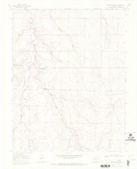
1968 · Dripping Spring
USGS Topo · 1:24,000
1968 · Cat Creek
USGS Topo · 1:24,000
1968 · Denny Lake
USGS Topo · 1:24,000
1968 · Cat Creek NW
USGS Topo · 1:24,000