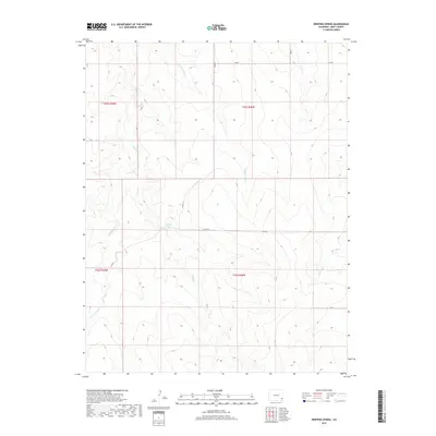
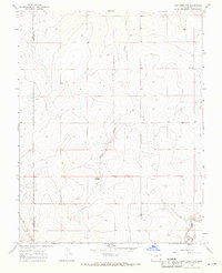
2019 Map of Dripping Spring
USGS Topo · Published 2019About this map
Dripping Spring serves as the central focal point of this arid landscape in Bent County, where several intermittent drainage networks converge. The terrain is defined by the carved paths of Rattlesnake Cr and Little Angry Cr, highlighting a topography shaped by seasonal water flow rather than permanent settlements. A sparse network of rural routes, including Co RD M and Co RD S, provides the only modern infrastructure through the township and range divisions. The map reveals a remote ranching or grazing environment where water sources like E Mud Cr and Mud Cr are critical landmarks. This 2019 survey documents a vast, open territory, largely unchanged in its primary drainage patterns and limited road access since the early twentieth century.
Find a feature on this map
18 named features on this map. Tap any name to fly to it.
Don’t see what you’re looking for? This feature index may not catch every label — zoom into the map to look around manually.
Map Details
Editions of this 2019 Dripping Spring Map
This is the sole edition of this map. No revisions or reprints were ever made.
Other maps of this area

1892 · Two Butte
USGS Topo · 1:125,000

1893 · Two Butte
USGS Topo · 1:125,000

1955 · La Junta
USGS Topo · 1:250,000

1958 · La Junta
USGS Topo · 1:250,000

1967 · Hand Springs
USGS Topo · 1:24,000

1968 · La Junta
USGS Topo · 1:250,000
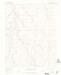
1968 · Dripping Spring
USGS Topo · 1:24,000
1968 · Cat Creek
USGS Topo · 1:24,000
1968 · Denny Lake
USGS Topo · 1:24,000
1968 · Cat Creek NW
USGS Topo · 1:24,000