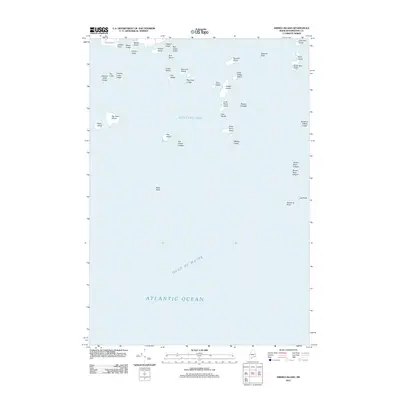
2011 Map of Drisko Island
USGS Topo · Published 2011About this map
Drisko Island and its smaller counterpart, Little Drisko Island, sit at the heart of this maritime survey where Western Bay meets the open Gulf of Maine. The map documents a complex coastal archipelago defined by numerous named hazards and landforms, from Marsh Island and Tibbett Island in the north to the isolated Egg Rock in the east. The density of named ledges, such as Drown Boys Ledges, Stanley Ledge, and Batson Ledges, underscores the intricate navigational requirements of these Maine waters. These features, along with Seahorse Rock and Black Rock, provide essential geographic markers for those studying the maritime history and land-naming traditions of Atlantic Ocean coastal communities.
Find a feature on this map
39 named features on this map. Tap any name to fly to it.
Don’t see what you’re looking for? This feature index may not catch every label — zoom into the map to look around manually.
Map Details
Editions of this 2011 Drisko Island Map
This is the sole edition of this map. No revisions or reprints were ever made.
Other maps of this area

1902 · Cherryfield
USGS Topo · 1:62,500

1904 · Cherryfield
USGS Topo · 1:62,500

1904 · Petit Manan
USGS Topo · 1:62,500

1921 · Great Wass Island
USGS Topo · 1:62,500

1921 · Columbia Falls
USGS Topo · 1:62,500

1941 · Columbia Falls
USGS Topo · 1:62,500

1942 · Cherryfield
USGS Topo · 1:62,500

1942 · Columbia Falls
USGS Topo · 1:62,500

1948 · Jonesport
USGS Topo · 1:24,000

1948 · Drisko Island
USGS Topo · 1:24,000