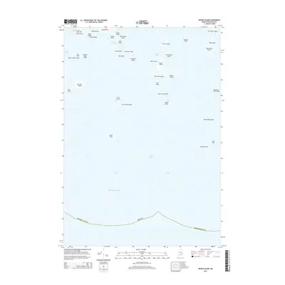
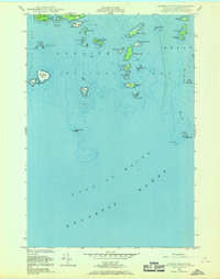
2014 Map of Drisko Island
USGS Topo · Published 2014About this map
Cape Split and Moose Neck anchor the northern reaches of this coastal survey, where the terrestrial landscape of Washington County gives way to the intricate island chains of Pleasant Bay. This 2014 maritime map records a complex network of granite hazards and tidal features, from the sheltered Tibbett Narrows to the exposed Gulf of Maine. The cartography emphasizes the navigational realities of the Maine coast, identifying numerous navigational marks such as Stanley Ledge, Harbor Ledge, and Batson Ledges.
Find a feature on this map
45 named features on this map. Tap any name to fly to it.
Don’t see what you’re looking for? This feature index may not catch every label — zoom into the map to look around manually.
Map Details
Editions of this 2014 Drisko Island Map
This is the sole edition of this map. No revisions or reprints were ever made.
Other maps of this area

1902 · Cherryfield
USGS Topo · 1:62,500

1904 · Cherryfield
USGS Topo · 1:62,500
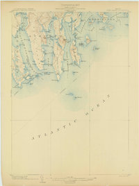
1904 · Petit Manan
USGS Topo · 1:62,500
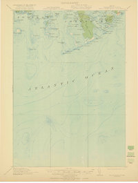
1921 · Great Wass Island
USGS Topo · 1:62,500
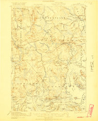
1921 · Columbia Falls
USGS Topo · 1:62,500
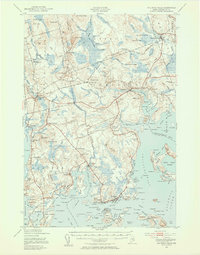
1941 · Columbia Falls
USGS Topo · 1:62,500
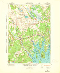
1942 · Cherryfield
USGS Topo · 1:62,500
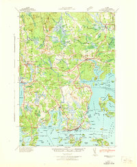
1942 · Columbia Falls
USGS Topo · 1:62,500
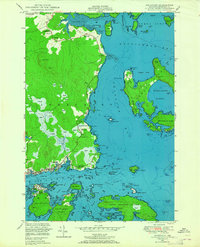
1948 · Jonesport
USGS Topo · 1:24,000
1948 · Drisko Island
USGS Topo · 1:24,000