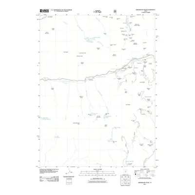
2011 Map of Dromedary Peak
USGS Topo · Published 2011About this map
Alta sits at the heart of this high-elevation landscape, where a dense concentration of mining remains meets modern recreation. The map documents an intensive industrial history through features like the Flagstaff Mine, Quincy Mines, and the Emma Tunnel, many located on the steep slopes of Flagstaff Mountain and Mount Superior. These operations are connected by a series of drainage and access points, including the Wasatch Drain Tunnel and Fredrick Tunnel. Beyond the silver and lead legacy, the terrain is defined by glacier-carved features such as Gad Valley and Peruvian Gulch. Water management is evident through the White Pine Dam and Silver Lake Flat Dam, while the transition to a destination for mountain sports is marked by the Alta Ski Area and the Snowbird Aerial Tram. Local history is anchored by the Alta City Cemetery, reflecting the enduring community in this alpine environment.
Find a feature on this map
91 named features on this map. Tap any name to fly to it.
Don’t see what you’re looking for? This feature index may not catch every label — zoom into the map to look around manually.
Map Details
Editions of this 2011 Dromedary Peak Map
This is the sole edition of this map. No revisions or reprints were ever made.
Other maps of this area

1885 · Salt Lake
USGS Topo · 1:250,000

1925 · Ft. Douglas
USGS Topo · 1:125,000

1928 · Ft. Douglas
USGS Topo · 1:125,000

1948 · Timpanogos Cave
USGS Topo · 1:24,000

1948 · Orem
USGS Topo · 1:62,500

1948 · Aspen Grove
USGS Topo · 1:24,000

1950 · Aspen Grove
USGS Topo · 1:24,000

1950 · Timpanogos Cave
USGS Topo · 1:24,000

1951 · Lehi
USGS Topo · 1:24,000

1952 · Sugar House
USGS Topo · 1:24,000