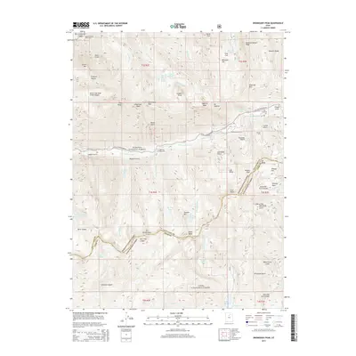
2014 Map of Dromedary Peak
USGS Topo · Published 2014About this map
Dromedary Peak dominates the high alpine landscape of the central Wasatch Range in this 2014 survey. This map details the extreme verticality of the terrain where the Wasatch National Forest and Uinta National Forest meet. The area is defined by its recreation and mining history, with the Alta Ski Area and the Snowbird Aerial Tram marking the modern use of these slopes. Notable peaks like Mt Superior and Hidden Peak tower over canyons such as Big Cottonwood Canyon and American Fork Canyon. Cultural sites include the Alta City Cem and the Tanners Flat Campground along Little Cottonwood Rd. Glacial features are prominent, including high-elevation tarns like Lake Blanche, Lake Lillian, and White Pine Lake, which feed the complex network of forks and gulches descending toward the valley floor.
Find a feature on this map
81 named features on this map. Tap any name to fly to it.
Don’t see what you’re looking for? This feature index may not catch every label — zoom into the map to look around manually.
Map Details
Editions of this 2014 Dromedary Peak Map
This is the sole edition of this map. No revisions or reprints were ever made.
Other maps of this area

1885 · Salt Lake
USGS Topo · 1:250,000

1925 · Ft. Douglas
USGS Topo · 1:125,000

1928 · Ft. Douglas
USGS Topo · 1:125,000

1948 · Timpanogos Cave
USGS Topo · 1:24,000

1948 · Orem
USGS Topo · 1:62,500

1948 · Aspen Grove
USGS Topo · 1:24,000

1950 · Aspen Grove
USGS Topo · 1:24,000

1950 · Timpanogos Cave
USGS Topo · 1:24,000

1951 · Lehi
USGS Topo · 1:24,000

1952 · Sugar House
USGS Topo · 1:24,000