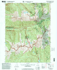
1998 Map of Dromedary Peak
USGS Topo · Published 2001About this map
Mining history dominates this high-altitude landscape near Alta, where a dense network of shafts and tunnels pierces the surrounding peaks. The mapping details an era of significant geological exploration and recreational development, showing the proximity of industrial sites like the Wasatch Mine and Flagstaff Mine to the burgeoning ski and tourism infrastructure of the late 20th century. High basins are dotted with alpine waters such as Lake Blanche and Red Pine Lake, which feed the drainages of Little Cottonwood Creek and the American Fork.
Find a feature on this map
89 named features on this map. Tap any name to fly to it.
Don’t see what you’re looking for? This feature index may not catch every label — zoom into the map to look around manually.
Map Details
Editions of this 1998 Dromedary Peak Map
This is the sole edition of this map. No revisions or reprints were ever made.
Other maps of this area

1885 · Salt Lake
USGS Topo · 1:250,000

1925 · Ft. Douglas
USGS Topo · 1:125,000

1928 · Ft. Douglas
USGS Topo · 1:125,000

1948 · Timpanogos Cave
USGS Topo · 1:24,000

1948 · Orem
USGS Topo · 1:62,500

1948 · Aspen Grove
USGS Topo · 1:24,000

1950 · Aspen Grove
USGS Topo · 1:24,000

1950 · Timpanogos Cave
USGS Topo · 1:24,000

1951 · Lehi
USGS Topo · 1:24,000

1952 · Sugar House
USGS Topo · 1:24,000