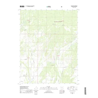
2019 Map of Dry Creek
USGS Topo · Published 2019About this map
Grand Mesa National Forest dominates the northern reaches of this Delta County landscape, where the high terrain of Spaulding Peak and Durkee Ridge gives way to a complex network of agricultural irrigation. The map reveals the critical role of water management in this high-desert environment, evidenced by the intricate system of gravity-fed waterways like Shindledecker Ditch, Sooner Ditch, and Cow Cr Ditch that traverse the mesas.
Find a feature on this map
46 named features on this map. Tap any name to fly to it.
Don’t see what you’re looking for? This feature index may not catch every label — zoom into the map to look around manually.
Map Details
Editions of this 2019 Dry Creek Map
This is the sole edition of this map. No revisions or reprints were ever made.
Other maps of this area

1955 · Grand Mesa
USGS Topo · 1:24,000

1955 · Lazear
USGS Topo · 1:24,000

1956 · Montrose
USGS Topo · 1:250,000

1957 · Leadville
USGS Topo · 1:250,000

1959 · Leadville
USGS Topo · 1:250,000

1959 · Montrose
USGS Topo · 1:250,000

1960 · Leadville
USGS Topo · 1:250,000

1960 · Montrose
USGS Topo · 1:250,000

1960 · Leon Peak
USGS Topo · 1:24,000

1961 · Chalk Mountain
USGS Topo · 1:24,000