
1955 Map of Lazear
USGS Topo · Published 1957About this map
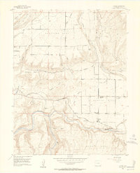
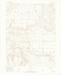
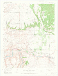
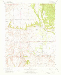
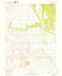
Rogers Mesa and Redlands Mesa define the high agricultural character of this Western Slope landscape, where intricate irrigation systems like the Durkee Ditch and Fire Mountain Canal support orchards and homesteads. The mid-1950s cultural geography is marked by transition, with both the West Redlands Sch and Rogers Mesa Sch noted as abandoned, while the Rogers Mesa Community House remains a central landmark. The southern reaches of the map are dominated by the deep relief of the Black Canyon of the Gunnison and the confluence where the North Fork Gunnison River meets the main stem. Transportation and industry are anchored by the Denver and Rio Grande Western railroad line passing through Lazear, serving a region that includes a Sulphur Mine and the Rainbow Run Trout Farm.
Find a feature on this map
35 named features on this map. Tap any name to fly to it.
Don’t see what you’re looking for? This feature index may not catch every label — zoom into the map to look around manually.
Map Details
Editions of this 1955 Lazear Map
8 editions found
Other maps of this area

1955 · Olathe NW
USGS Topo · 1:24,000

1955 · Black Ridge
USGS Topo · 1:24,000

1956 · Montrose
USGS Topo · 1:250,000

1959 · Montrose
USGS Topo · 1:250,000

1960 · Montrose
USGS Topo · 1:250,000
1962 · Orchard City
USGS Topo · 1:24,000
1965 · Gray Reservoir
USGS Topo · 1:24,000
1965 · Dry Creek
USGS Topo · 1:24,000
1965 · Cedaredge
USGS Topo · 1:24,000
1965 · Grand View Mesa
USGS Topo · 1:24,000