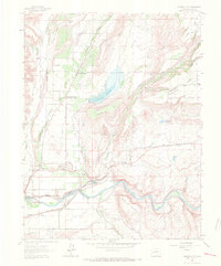
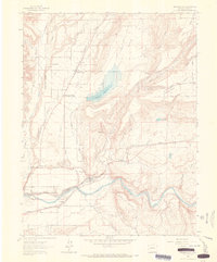
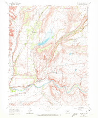
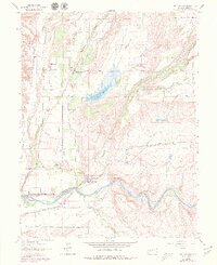
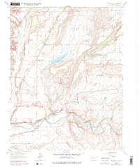
1962 Map of Orchard City
USGS Topo · Published 1966About this map
Orchard City and its surrounding agricultural communities define this early 1960s landscape, where irrigation networks supported a burgeoning fruit-growing industry. The importance of water management is evident in the sprawling Fruit Growers Reservoir and numerous man-made channels like the North Delta Canal and Alfalfa Ditch. Along the southern edge, the Gunnison River and the Denver and Rio Grande Western railroad provide a primary transportation corridor, linking the small postal stations of Austin PO and Cory PO to the wider region. Beyond the valley floors, the topography rises toward Redlands Mesa and Smiths Mountain, while local research is highlighted at the CSU Experimental Station. This survey captures the intricate balance between the high desert terrain and the systematic engineering required to cultivate the Peach Valley.
Find a feature on this map
47 named features on this map. Tap any name to fly to it.
Don’t see what you’re looking for? This feature index may not catch every label — zoom into the map to look around manually.
Map Details
Editions of this 1962 Orchard City Map
5 editions found
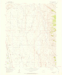
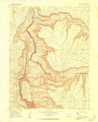
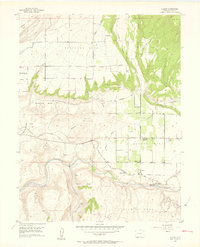
Other maps of this area
1955 · Olathe NW
USGS Topo · 1:24,000
1955 · Black Ridge
USGS Topo · 1:24,000
1955 · Lazear
USGS Topo · 1:24,000

1956 · Montrose
USGS Topo · 1:250,000

1956 · Moab
USGS Topo · 1:250,000

1959 · Moab
USGS Topo · 1:250,000

1959 · Montrose
USGS Topo · 1:250,000

1960 · Montrose
USGS Topo · 1:250,000

1960 · Moab
USGS Topo · 1:250,000

1962 · Moab
USGS Topo · 1:250,000