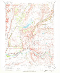
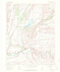
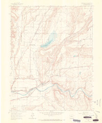
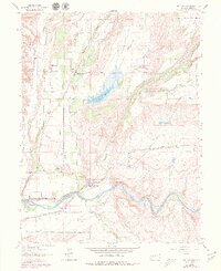
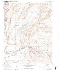
1962 Map of Orchard City
USGS Topo · Published 1972About this map
The Gunnison River and the Denver and Rio Grande Western railroad corridor anchor the southern edge of this landscape, defining the industrial and transit backbone of Delta County in the early 1960s. Northward, the agricultural character of the region is evident through a sophisticated network of irrigation infrastructure, including the Alfalfa Ditch, Western Ditch, and Fuller Ditch, which support the orchards and fields surrounding Orchard City.
Find a feature on this map
43 named features on this map. Tap any name to fly to it.
Don’t see what you’re looking for? This feature index may not catch every label — zoom into the map to look around manually.
Map Details
Editions of this 1962 Orchard City Map
5 editions found
Other maps of this area
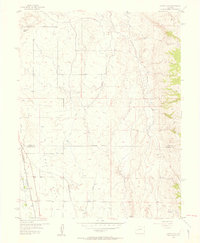
1955 · Olathe NW
USGS Topo · 1:24,000
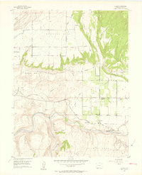
1955 · Black Ridge
USGS Topo · 1:24,000
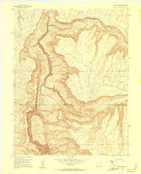
1955 · Lazear
USGS Topo · 1:24,000

1956 · Montrose
USGS Topo · 1:250,000

1956 · Moab
USGS Topo · 1:250,000

1959 · Moab
USGS Topo · 1:250,000

1959 · Montrose
USGS Topo · 1:250,000

1960 · Montrose
USGS Topo · 1:250,000

1960 · Moab
USGS Topo · 1:250,000

1962 · Moab
USGS Topo · 1:250,000