1962 Map of Orchard City
USGS Topo · Published 1979About this map
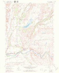
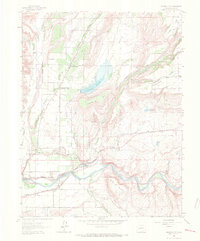
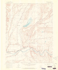
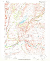
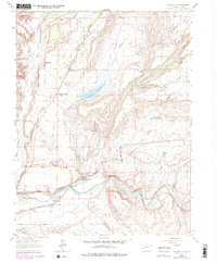
The Fruit Growers Reservoir dominates the center of this 1962 survey of Delta County, situated within the distinctive natural depression of Harts Basin. This agricultural landscape is defined by an intricate network of irrigation, including the Alfalfa Ditch, Transfer Ditch, and Morton Ditch, which redirect water from Surface Creek and other local flows to support the orchards and farms of Orchard City. The map reveals the community structure of the era, pinpointing localized post offices at Eckert, Cory, and Austin.
Find a feature on this map
48 named features on this map. Tap any name to fly to it.
Don’t see what you’re looking for? This feature index may not catch every label — zoom into the map to look around manually.
Map Details
Editions of this 1962 Orchard City Map
5 editions found
Other maps of this area
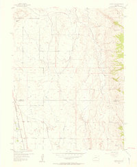
1955 · Olathe NW
USGS Topo · 1:24,000
1955 · Black Ridge
USGS Topo · 1:24,000
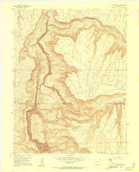
1955 · Lazear
USGS Topo · 1:24,000

1956 · Montrose
USGS Topo · 1:250,000

1956 · Moab
USGS Topo · 1:250,000

1959 · Moab
USGS Topo · 1:250,000

1959 · Montrose
USGS Topo · 1:250,000

1960 · Montrose
USGS Topo · 1:250,000

1960 · Moab
USGS Topo · 1:250,000

1962 · Moab
USGS Topo · 1:250,000