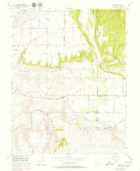
1955 Map of Lazear
USGS Topo · Published 1979About this map
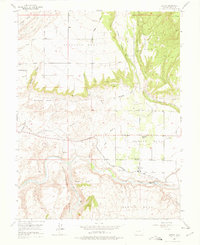
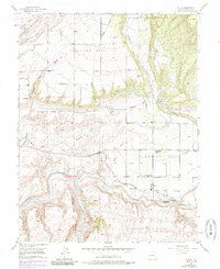
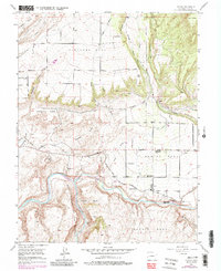
Rogers Mesa sits atop the tiered agricultural landscape of Delta County, where intricate water systems like the Durkee Ditch and Fire Mountain Canal have historically supported the high desert plateaus. This 1955 survey captures a community in transition, noting the West Redlands Sch and Rogers Mesa Sch as abandoned landmarks of an earlier era. The Denver and Rio Grande Western railroad tracks parallel the North Fork Gunnison River, serving the small settlement at Lazear and the nearby Sulphur Mine. Further south, the dramatic transition into the Black Canyon of the Gunnison reveals the steep, gulch-carved terrain of Scenic Mesa and Cedar Flats. The map also records specialized land uses of the time, such as the Rainbow Run Trout Farm and a private Landing Field on the mesa top.
Find a feature on this map
36 named features on this map. Tap any name to fly to it.
Don’t see what you’re looking for? This feature index may not catch every label — zoom into the map to look around manually.
Map Details
Editions of this 1955 Lazear Map
8 editions found
Other maps of this area

1955 · Olathe NW
USGS Topo · 1:24,000

1955 · Black Ridge
USGS Topo · 1:24,000

1955 · Lazear
USGS Topo · 1:24,000

1956 · Montrose
USGS Topo · 1:250,000

1959 · Montrose
USGS Topo · 1:250,000

1960 · Montrose
USGS Topo · 1:250,000
1962 · Orchard City
USGS Topo · 1:24,000
1965 · Gray Reservoir
USGS Topo · 1:24,000
1965 · Dry Creek
USGS Topo · 1:24,000
1965 · Cedaredge
USGS Topo · 1:24,000