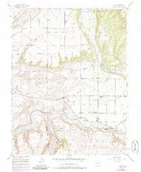
1955 Map of Lazear
USGS Topo · Published 1985About this map
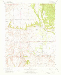
Rogers Mesa serves as a central hub of agricultural activity in this 1955 survey of Delta County, where intricate irrigation systems like the Fire Mountain Canal and Durkee Ditch traverse the landscape. The settlement of Lazear is anchored by the Denver and Rio Grande Western railroad, which follows the North Fork of the Gunnison River. The geography is defined by a series of prominent benches including Redlands Mesa, Shamrock Mesa, and Oak Mesa, which are separated by deep drainages like Stingley Gulch and Leroux Creek.
Find a feature on this map
37 named features on this map. Tap any name to fly to it.
Don’t see what you’re looking for? This feature index may not catch every label — zoom into the map to look around manually.
Map Details
Editions of this 1955 Lazear Map
8 editions found
Other maps of this area

1955 · Olathe NW
USGS Topo · 1:24,000

1955 · Black Ridge
USGS Topo · 1:24,000

1955 · Lazear
USGS Topo · 1:24,000

1956 · Montrose
USGS Topo · 1:250,000

1959 · Montrose
USGS Topo · 1:250,000

1960 · Montrose
USGS Topo · 1:250,000
1962 · Orchard City
USGS Topo · 1:24,000
1965 · Gray Reservoir
USGS Topo · 1:24,000
1965 · Dry Creek
USGS Topo · 1:24,000
1965 · Cedaredge
USGS Topo · 1:24,000