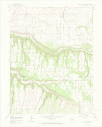
1965 Map of Grand View Mesa
USGS Topo · Published 1968About this map
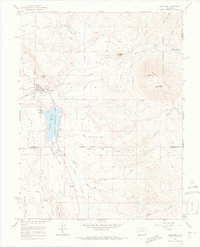
Grand View Mesa and Scenic Mesa dominate this mid-1960s landscape, where a complex network of man-made waterways supports the plateau agriculture of western Colorado. The map reveals the intricate engineering required to move water across this terrain, featuring the Grand View Canal, Fruitland Canal, and several others such as the Clipper Ditch and Aspen Ditch. These irrigation systems wind along the contours of the mesas, starkly contrasted by the deep incisions of Red Canyon and the winding course of the Smith Fork.
Find a feature on this map
28 named features on this map. Tap any name to fly to it.
Don’t see what you’re looking for? This feature index may not catch every label — zoom into the map to look around manually.
Map Details
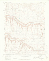
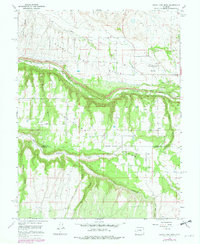
Editions of this 1965 Grand View Mesa Map
3 editions found
Other maps of this area

1955 · Black Ridge
USGS Topo · 1:24,000

1955 · Red Rock Canyon
USGS Topo · 1:24,000

1955 · Lazear
USGS Topo · 1:24,000

1956 · Montrose
USGS Topo · 1:250,000

1957 · Cathedral Peak
USGS Topo · 1:24,000

1957 · Grizzly Ridge
USGS Topo · 1:24,000

1959 · Montrose
USGS Topo · 1:250,000

1960 · Montrose
USGS Topo · 1:250,000
1965 · Paonia
USGS Topo · 1:24,000
1965 · Crawford
USGS Topo · 1:24,000