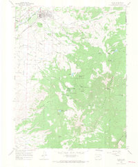
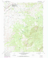
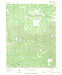
1965 Map of Paonia
USGS Topo · Published 1968About this map
Paonia serves as the focal point for this mid-1960s agricultural and mountain landscape, where the North Fork of the Gunnison River and the Denver and Rio Grande Western railroad line dictated the local economy. The town is surrounded by a complex system of irrigation infrastructure, including the Pitkin Ditch, Farmers Ditch, and Aqueduct, which transformed the dry flats of Stewart Mesa and Lamborn Mesa into productive land. The transition from valley orchards to high-country wilderness is abrupt, as the map climbs south into the Gunnison National Forest.
Find a feature on this map
54 named features on this map. Tap any name to fly to it.
Don’t see what you’re looking for? This feature index may not catch every label — zoom into the map to look around manually.
Map Details
Editions of this 1965 Paonia Map
5 editions found
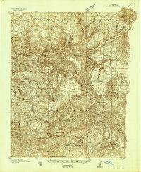
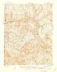
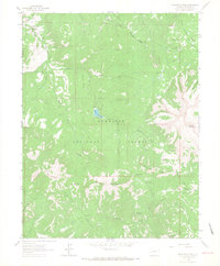
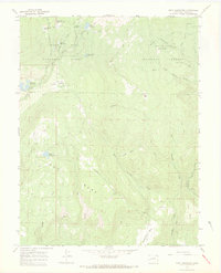
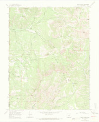
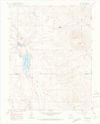
Other maps of this area
1938 · Mt. Gunnison
USGS Topo · 1:48,000
1945 · Mount Gunnison
USGS Topo · 1:62,500

1956 · Montrose
USGS Topo · 1:250,000

1959 · Montrose
USGS Topo · 1:250,000

1960 · Montrose
USGS Topo · 1:250,000
1964 · Minnesota Pass
USGS Topo · 1:24,000
1964 · Somerset
USGS Topo · 1:24,000
1965 · Gray Reservoir
USGS Topo · 1:24,000
1965 · Mount Guero
USGS Topo · 1:24,000
1965 · Crawford
USGS Topo · 1:24,000