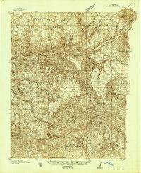
1938 Map of Mt. Gunnison
USGS Topo · Published 1938About this map
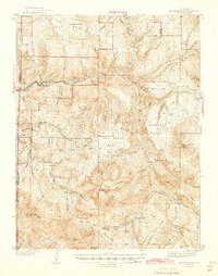
Gunnison National Forest and Grand Mesa National Forest dominate this landscape, surveyed in the late 1930s before the full modernization of the Western Slope. The map highlights a network of remote outposts and working land, from the Davenport Ranch to several seasonal high-country dwellings like Fire Mtn Cabin, Snowshoe Cabin, and Navajo Cabin. Along the North Fork Gunnison River, the settlements of Somerset and Oliver provide a glimpse into the regional mining and rail corridor.
Find a feature on this map
71 named features on this map. Tap any name to fly to it.
Don’t see what you’re looking for? This feature index may not catch every label — zoom into the map to look around manually.
Map Details
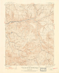
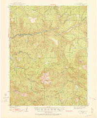
Editions of this 1938 Mt. Gunnison Map
5 editions found

Other maps of this area

1888 · Anthracite
USGS Topo · 1:62,500

1889 · Anthracite
USGS Topo · 1:62,500

1893 · Anthracite
USGS Topo · 1:62,500

1894 · Anthracite
USGS Topo · 1:62,500
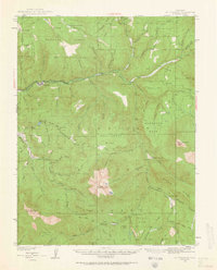
1945 · Mount Gunnison
USGS Topo · 1:62,500

1956 · Montrose
USGS Topo · 1:250,000

1957 · Leadville
USGS Topo · 1:250,000

1959 · Leadville
USGS Topo · 1:250,000

1959 · Montrose
USGS Topo · 1:250,000

1960 · Leadville
USGS Topo · 1:250,000