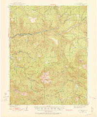
1938 Map of Mount Gunnison
USGS Topo · Published 1952About this map
Somerset and the neighboring community of Oliver anchor the western edge of this landscape along the North Fork Gunnison River. The 1930s terrain is defined by the massive uplift of Mt Gunnison and the surrounding high plateaus of Coal Creek Mesa and Snowshoe Mesa. Movement through this high-elevation backcountry was facilitated by established routes like the Gunnison River Line and the Thompson Creek Trail, supporting both ranching and the early mining operations suggested by the D & R G W RR line reaching into the valley.
Find a feature on this map
86 named features on this map. Tap any name to fly to it.
Don’t see what you’re looking for? This feature index may not catch every label — zoom into the map to look around manually.
Map Details
Editions of this 1938 Mount Gunnison Map
5 editions found
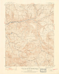
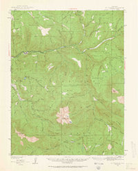
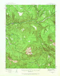
Other maps of this area

1888 · Anthracite
USGS Topo · 1:62,500

1889 · Anthracite
USGS Topo · 1:62,500

1893 · Anthracite
USGS Topo · 1:62,500

1894 · Anthracite
USGS Topo · 1:62,500

1938 · Mt. Gunnison
USGS Topo · 1:48,000

1945 · Mount Gunnison
USGS Topo · 1:62,500

1956 · Montrose
USGS Topo · 1:250,000

1957 · Leadville
USGS Topo · 1:250,000

1959 · Leadville
USGS Topo · 1:250,000

1959 · Montrose
USGS Topo · 1:250,000