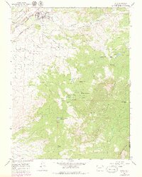
1965 Map of Paonia
USGS Topo · Published 1979About this map
Paonia occupies the fertile valley of the North Fork of the Gunnison River, serving as a hub for the agricultural mesas that rise above the canyon floor. This 1965 survey illustrates a landscape of complex irrigation, where features like the Minnesota Ditch, Stewart Ditch, and Needle Rock Ditch carry water across Stewart Mesa and Amborn Mesa. The presence of the Stewart Mesa Sch and Lamborn Sch suggests a decentralized rural community organized around these elevated farming benches.
Find a feature on this map
52 named features on this map. Tap any name to fly to it.
Don’t see what you’re looking for? This feature index may not catch every label — zoom into the map to look around manually.
Map Details
Editions of this 1965 Paonia Map
5 editions found
Other maps of this area

1938 · Mt. Gunnison
USGS Topo · 1:48,000

1945 · Mount Gunnison
USGS Topo · 1:62,500

1956 · Montrose
USGS Topo · 1:250,000

1959 · Montrose
USGS Topo · 1:250,000

1960 · Montrose
USGS Topo · 1:250,000

1964 · Minnesota Pass
USGS Topo · 1:24,000
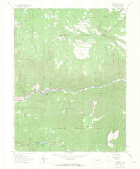
1964 · Somerset
USGS Topo · 1:24,000
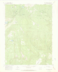
1965 · Gray Reservoir
USGS Topo · 1:24,000

1965 · Mount Guero
USGS Topo · 1:24,000
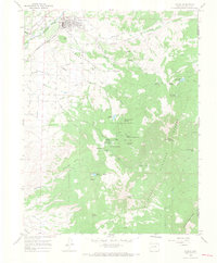
1965 · Paonia
USGS Topo · 1:24,000