
1957 Map of Cathedral Peak
USGS Topo · Published 1957About this map
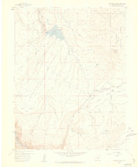
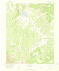
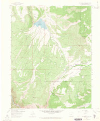
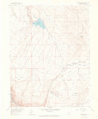
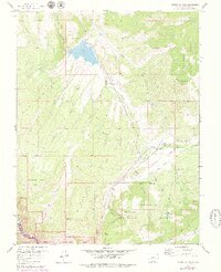
Cathedral Peak stands as a prominent landmark in this mid-century survey of the high plateau and canyon country of Montrose County. The landscape is defined by the significant hydrological features of the Gunnison National Forest, including the Gould Reservoir and the smaller Meek Reservoir. This 1957 edition captures a remote mountain environment where water management and cattle ranching were central to the area's utility. The drainage systems of Iron Creek, Alkali Creek, and Bull Creek converge toward the dramatic depths of the Black Canyon of the Gunnison in the southwest corner.
Find a feature on this map
25 named features on this map. Tap any name to fly to it.
Don’t see what you’re looking for? This feature index may not catch every label — zoom into the map to look around manually.
Map Details
Editions of this 1957 Cathedral Peak Map
7 editions found
Other maps of this area

1908 · Uncompahgre
USGS Topo · 1:125,000

1909 · Montrose
USGS Topo · 1:125,000

1911 · Uncompahgre
USGS Topo · 1:125,000

1911 · Montrose
USGS Topo · 1:125,000

1956 · Curecanti Needle
USGS Topo · 1:24,000

1956 · Cimarron
USGS Topo · 1:24,000

1956 · Montrose
USGS Topo · 1:250,000

1957 · X Lazy F Ranch
USGS Topo · 1:24,000

1957 · Cerro Summit
USGS Topo · 1:24,000

1957 · Grizzly Ridge
USGS Topo · 1:24,000