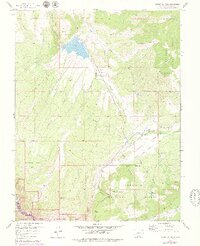
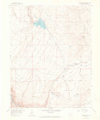
1957 Map of Cathedral Peak
USGS Topo · Published 1979About this map
Gould Reservoir and the high elevations of Cathedral Peak dominate this landscape in eastern Montrose County. The 1957 field check reveals a terrain defined by agricultural water management and high-desert plateaus, where Fruitland Mesa and Deadhorse Mesa are carved by deep drainages like Pine Gulch and Buckhorn Gulch. To the south, the map captures the steep descent into the Black Canyon of the Gunnison, part of the Curecanti National Recreation Area. Small pockets of human activity are noted at Cedar Point and Gates Camp, while the Cattlemans Ditch and Lazy F Ranch Road indicate the ranching economy that relies on the seasonal flow of Onion Valley Creek and Crystal Creek within the Gunnison National Forest.
Find a feature on this map
28 named features on this map. Tap any name to fly to it.
Don’t see what you’re looking for? This feature index may not catch every label — zoom into the map to look around manually.
Map Details
Editions of this 1957 Cathedral Peak Map
7 editions found
Other maps of this area

1908 · Uncompahgre
USGS Topo · 1:125,000

1909 · Montrose
USGS Topo · 1:125,000

1911 · Uncompahgre
USGS Topo · 1:125,000

1911 · Montrose
USGS Topo · 1:125,000

1956 · Curecanti Needle
USGS Topo · 1:24,000

1956 · Cimarron
USGS Topo · 1:24,000

1956 · Montrose
USGS Topo · 1:250,000

1957 · Cathedral Peak
USGS Topo · 1:24,000

1957 · X Lazy F Ranch
USGS Topo · 1:24,000

1957 · Cerro Summit
USGS Topo · 1:24,000