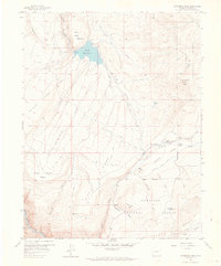
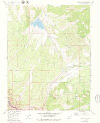
1957 Map of Cathedral Peak
USGS Topo · Published 1964About this map
Cathedral Peak stands as a prominent landmark in this high-altitude landscape of western Colorado, where deep canyons and broad mesas define the terrain within the Gunnison National Forest. This mid-century survey documents a region dominated by water management and transit through difficult geography, evidenced by the presence of Gould Reservoir and Meek Reservoir alongside numerous cattlemen's ditches. The small settlement at Gates Camp serves as a human anchor in a map largely characterized by natural features like the Black Canyon of the Gunnison River and Fruitland Mesa. A network of Jeep Trails provides the primary means of access across ridges such as Poison Spring Ridge, connecting the various creek valleys, including Iron Creek and Crystal Creek, which carve through the high plateaus.
Find a feature on this map
26 named features on this map. Tap any name to fly to it.
Don’t see what you’re looking for? This feature index may not catch every label — zoom into the map to look around manually.
Map Details
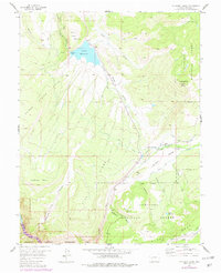
Editions of this 1957 Cathedral Peak Map
7 editions found
Other maps of this area

1908 · Uncompahgre
USGS Topo · 1:125,000

1909 · Montrose
USGS Topo · 1:125,000

1911 · Uncompahgre
USGS Topo · 1:125,000

1911 · Montrose
USGS Topo · 1:125,000

1956 · Curecanti Needle
USGS Topo · 1:24,000

1956 · Cimarron
USGS Topo · 1:24,000

1956 · Montrose
USGS Topo · 1:250,000

1957 · Cathedral Peak
USGS Topo · 1:24,000

1957 · X Lazy F Ranch
USGS Topo · 1:24,000

1957 · Cerro Summit
USGS Topo · 1:24,000