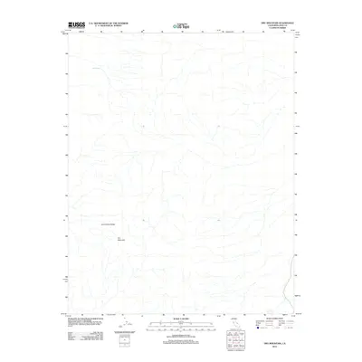
2012 Map of Dry Mountain
USGS Topo · Published 2012About this map
Dry Mountain stands as the central landmark of this Inyo County terrain, rising within the northern extent of the Last Chance Range. This 2012 topographic survey by the U.S. Geological Survey reveals a landscape defined by sharp elevation changes and seasonal drainage patterns, typical of the high-desert interior. The isolated Marble Bath in the northwest portion of the quadrangle serves as one of the few named water features in this otherwise arid environment. The map provides a precise view of the geographic isolation of these peaks, showing a network of intermittent stream beds and 4WD tracks that underscore the remote nature of this portion of California. It is a vital record for understanding the natural contours and sparse landmarks of the northern Mojave and southern Great Basin transition.
Find a feature on this map
3 named features on this map. Tap any name to fly to it.
Don’t see what you’re looking for? This feature index may not catch every label — zoom into the map to look around manually.
Map Details
Editions of this 2012 Dry Mountain Map
This is the sole edition of this map. No revisions or reprints were ever made.
Other maps of this area

1908 · Lida
USGS Topo · 1:250,000

1908 · Ballarat
USGS Topo · 1:250,000

1913 · Lida
USGS Topo · 1:250,000

1913 · Ballarat
USGS Topo · 1:250,000

1948 · Death Valley
USGS Topo · 1:250,000

1954 · Death Valley
USGS Topo · 1:250,000

1954 · Goldfield
USGS Topo · 1:250,000

1955 · Goldfield
USGS Topo · 1:250,000

1956 · Death Valley
USGS Topo · 1:250,000

1957 · Death Valley
USGS Topo · 1:250,000