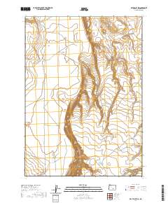
2020 Map of Dry Valley Rim
USGS Topo · Published 2020About this map
Dry Valley Rim dominates the central topography of this Harney County landscape, creating a distinct escarpment that separates the elevated plateau from the lower basin of Dry Valley. This 2020 survey illustrates a sparsely developed section of Oregon high desert, where water features such as Juniper Cr and Corn Lake are critical markers in an otherwise arid environment. The map details a network of access routes, including Dry Valley Rd and Rawhide Spring Rd, which facilitate movement through the rugged canyonlands. To the southeast, the terrain descends into Rawhide Canyon, highlighting the complex drainage patterns and relief that define this region. The absence of established towns or permanent structures emphasizes the area's use for open-range activities and land management within the various township and range sections.
Find a feature on this map
17 named features on this map. Tap any name to fly to it.
Don’t see what you’re looking for? This feature index may not catch every label — zoom into the map to look around manually.
Map Details
Editions of this 2020 Dry Valley Rim Map
This is the sole edition of this map. No revisions or reprints were ever made.
Other maps of this area

1955 · Burns
USGS Topo · 1:250,000

1955 · Adel
USGS Topo · 1:250,000

1957 · Adel
USGS Topo · 1:250,000

1958 · Burns
USGS Topo · 1:250,000

1958 · Adel
USGS Topo · 1:250,000

1959 · Burns
USGS Topo · 1:250,000

1962 · Adel
USGS Topo · 1:250,000

1971 · Rock Camp Draw
USGS Topo · 1:24,000
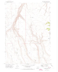
1971 · Red Bank Lakes
USGS Topo · 1:24,000
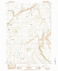
1984 · Turpin Knoll
USGS Topo · 1:24,000