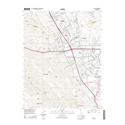
2021 Map of Dublin
USGS Topo · Published 2021About this map
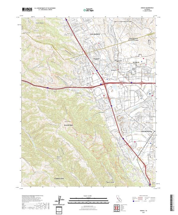
Dublin and its neighboring valleys appear as a complex network of suburban development and protected ridgelines in this recent survey. The landscape is defined by the significant corridor of Dublin Canyon and Haywards Pass, which historically channeled movement between the coast and the interior. While modern residential patterns dominate in San Ramon Village and Komandorski Village, the map preserves the location of the Dublin Pioneer Cem and the Pleasanton Memorial Gardens Cem, marking the long-term settlement of this region. Dramatic topography surrounds the developing basins, with the Diablo Range rising to the east and the massive forms of Sunol Ridge and Walpert Ridge providing a sharp contrast to the dense road networks of Pleasanton. An extensive trail system, including the Iron Horse Regional Trl and Calaveras Ridge Regional Trl, weaves through the hills, following the natural contours and drainages like Arroyo de la Laguna.
Find a feature on this map
72 named features on this map. Tap any name to fly to it.
Don’t see what you’re looking for? This feature index may not catch every label — zoom into the map to look around manually.
Map Details
Editions of this 2021 Dublin Map
This is the sole edition of this map. No revisions or reprints were ever made.
Historical Maps of Hayward Through Time
6 maps found