
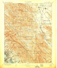
1897 Map of Concord
USGS Topo · Published 1897About this map
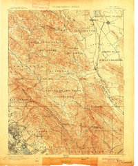
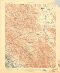
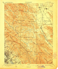
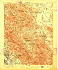
Monte del Diablo and the expansive ranchos of the East Bay dominate this late nineteenth-century landscape, surveyed shortly after the arrival of the transcontinental rail connections. The map detail highlights a period of transition where large Mexican-era land grants like Acalanes and Laguna de los Palos Colorados are increasingly crisscrossed by the Southern Pacific R. R. and the California and Nevada R. R.. These rail lines fueled the early growth of inland agricultural centers such as Concord and Walnut Creek. To the west, the early development of the East Bay hills is visible through features like Laundry Farm and the emerging neighborhoods of Fruitvale and Melrose. This topographic record also preserves the placement of the Mount Diablo Base Line, the fundamental reference for land surveying throughout most of Northern California.
Find a feature on this map
98 named features on this map. Tap any name to fly to it.
Don’t see what you’re looking for? This feature index may not catch every label — zoom into the map to look around manually.
Map Details
Editions of this 1897 Concord Map
6 editions found
Other maps of this area

1892 · San Mateo
USGS Topo · 1:62,500

1895 · San Francisco
USGS Topo · 1:62,500

1896 · San Mateo
USGS Topo · 1:62,500

1896 · Carquinez Strait
USGS Topo · 1:62,500

1896 · Mt. Diablo
USGS Topo · 1:62,500

1898 · Karquines
USGS Topo · 1:62,500

1898 · Mt. Diablo
USGS Topo · 1:62,500

1899 · San Francisco
USGS Topo · 1:62,500

1899 · Haywards
USGS Topo · 1:62,500

1899 · San Mateo
USGS Topo · 1:62,500