
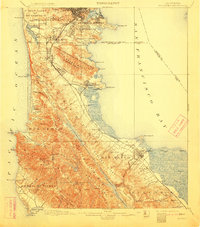
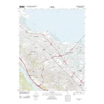
1896 Map of San Mateo
USGS Topo · Published 1896About this map
The northern San Francisco Peninsula in the 1890s is characterized by a landscape of steep coastal ridges and the emerging infrastructure of the South Bay. Large tracts of land are dedicated to the Cemeteries at Colma, while to the south, the Southern Pacific R. R. and the Monterey Line facilitate the growth of early settlements like Millbrae and San Mateo. The map illustrates the critical water management systems of the era, notably the series of reservoirs including San Andreas Lake and Crystal Springs Lake, held by the Crystal Springs Dam. Coastal features such as Devils Slide and Montara Pt. remain largely undeveloped, with a lone Fog Whistle marking the maritime hazards of the Pacific. Local institutions, including the Industrial School and the San Mateo Co. Alms House, reflect the social geography of the late 19th-century county.
Find a feature on this map
84 named features on this map. Tap any name to fly to it.
Don’t see what you’re looking for? This feature index may not catch every label — zoom into the map to look around manually.
Map Details
Editions of this 1896 San Mateo Map
This is the sole edition of this map. No revisions or reprints were ever made.
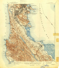
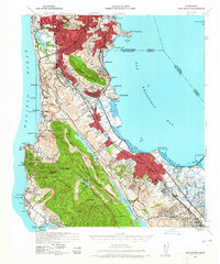
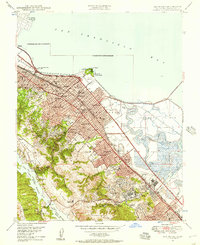
Historical Maps of San Francisco Through Time
15 maps found

1892 San Mateo
San Mateo County, CA
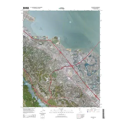
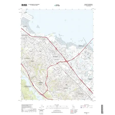
1896 San Mateo
San Mateo County, CA
1899 San Mateo
San Mateo County, CA
1915 San Mateo
San Mateo County, CA
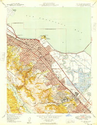
1939 San Mateo
San Mateo County, CA

1943 San Mateo
San Mateo County, CA
1947 San Mateo
San Mateo County, CA
1949 San Mateo
San Mateo County, CA
1956 San Mateo
San Mateo County, CA
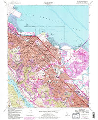
1993 San Mateo
San Mateo County, CA
1997 San Mateo
San Mateo County, CA
2012 San Mateo
San Mateo County, CA
2015 San Mateo
San Mateo County, CA
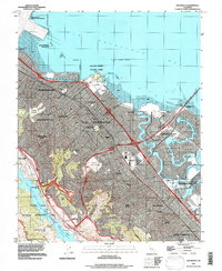
2018 San Mateo
San Mateo County, CA
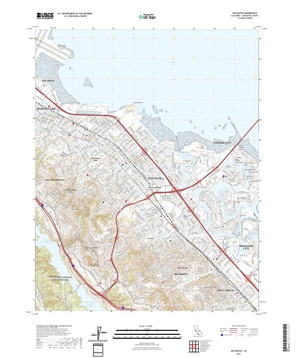
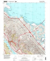
2021 San Mateo
San Mateo County, CA