
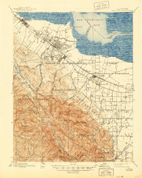
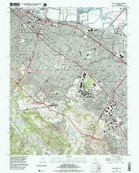
1897 Map of Palo Alto
USGS Topo · Published 1897About this map
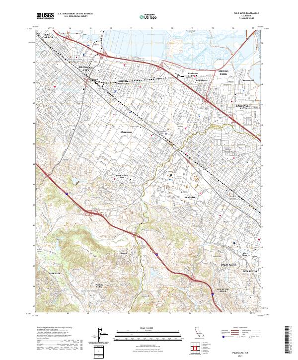
Stanford University and the nascent town of Palo Alto appear here during a pivotal decade of development for the San Francisco Peninsula. This 1895 survey captures the transition of Spanish land grants, such as Rincon de San Francisquito and Pastoria de las Borregas, into the modern residential and academic corridors of the Santa Clara Valley. The Southern Pacific RR serves as the primary artery connecting established hubs like Redwood and Menlo Park to agricultural centers like Mayfield and Saratoga. To the west, the landscape rises sharply into the Santa Cruz Mountains, dominated by Monte Bello Ridge and Black Mountain. The map reveals the early distinct locations of Mountain View along the railroad and Old Mountain View to the south, while tracing numerous drainages like San Francisquito Creek and Stevens Creek that define the local topography.
Find a feature on this map
60 named features on this map. Tap any name to fly to it.
Don’t see what you’re looking for? This feature index may not catch every label — zoom into the map to look around manually.
Map Details
Editions of this 1897 Palo Alto Map
This is the sole edition of this map. No revisions or reprints were ever made.
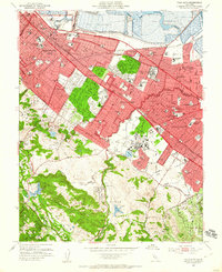
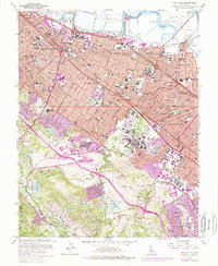
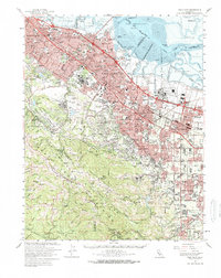
Historical Maps of San Jose Through Time
15 maps found
1897 Palo Alto
Santa Clara County, CA
1899 Palo Alto
Santa Clara County, CA

1941 Palo Alto
Santa Clara County, CA

1943 Palo Alto
Santa Clara County, CA

1948 Palo Alto
Santa Clara County, CA
1953 Palo Alto
Santa Clara County, CA
1961 Palo Alto
Santa Clara County, CA
1961 Palo Alto
Santa Clara County, CA

1982 Palo Alto
Santa Clara County, CA

1991 Palo Alto
Santa Clara County, CA
1997 Palo Alto
Santa Clara County, CA
2012 Palo Alto
Santa Clara County, CA
2015 Palo Alto
Santa Clara County, CA
2018 Palo Alto
Santa Clara County, CA
2021 Palo Alto
Santa Clara County, CA