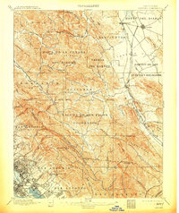
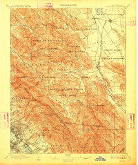
1897 Map of Concord
USGS Topo · Published 1913About this map
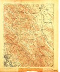
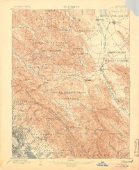
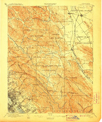
Concord and Walnut Creek appear as small rail-adjacent settlements in the late nineteenth century, long before the suburban transformation of the East Bay. The landscape is defined by the Spanish-named land grants such as Acalanes and Laguna de los Palos Colorados, reflecting the region's ranching heritage. The Southern Pacific RR (San Ramon Branch) provides a vital transport link through the San Ramon Valley, connecting Hookston and Alamo to the broader regional network. To the southwest, the beginnings of urban expansion are visible near San Leandro Bay, with named neighborhoods like Fruitvale, Melrose, and the curiously named Laundry Farm appearing along the foothills. The terrain transitions from the salt marshes of Oakland Harbor to the prominent heights of Mt. Diablo and the Briones Hills, illustrating the diverse topography of Contra Costa and Alameda counties before modern development altered these valleys.
Find a feature on this map
90 named features on this map. Tap any name to fly to it.
Don’t see what you’re looking for? This feature index may not catch every label — zoom into the map to look around manually.
Map Details
Editions of this 1897 Concord Map
6 editions found
Other maps of this area

1892 · San Mateo
USGS Topo · 1:62,500

1895 · San Francisco
USGS Topo · 1:62,500

1896 · San Mateo
USGS Topo · 1:62,500

1896 · Carquinez Strait
USGS Topo · 1:62,500

1896 · Mt. Diablo
USGS Topo · 1:62,500

1897 · Concord
USGS Topo · 1:62,500

1898 · Karquines
USGS Topo · 1:62,500

1898 · Mt. Diablo
USGS Topo · 1:62,500

1899 · San Francisco
USGS Topo · 1:62,500

1899 · Haywards
USGS Topo · 1:62,500