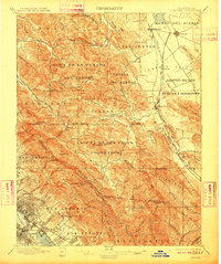
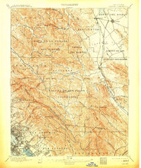
1897 Map of Concord
USGS Topo · Published 1910About this map
Monte Del Diablo and its surrounding valleys dominate this interior landscape of Contra Costa County during the late nineteenth century. Large Spanish land grant legacies are evident in the expansive ranchos like Boca De La Canada Del Pinole and Laguna De Los Palos Colorados, reflecting the region's pastoral roots before denser suburban development. The Southern Pacific RR tracks cut through the Ygnacio Valley, connecting early agricultural hubs like Concord and Pacheco to the burgeoning industrial waterfront of Oakland Harbor in the southwest corner. Local life centers on scattered settlements such as Walnut Creek and Lafayette, while smaller locales like Laundry Farm and De Laveaga mark the transition toward the hills. This era captures the East Bay as a network of distinct small towns and vast open ranchlands, just as the rail lines began to accelerate the growth of communities like Fruitvale and Melrose.
Find a feature on this map
89 named features on this map. Tap any name to fly to it.
Don’t see what you’re looking for? This feature index may not catch every label — zoom into the map to look around manually.
Map Details
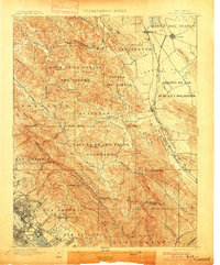
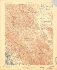
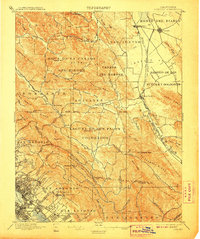
Editions of this 1897 Concord Map
6 editions found
Other maps of this area

1892 · San Mateo
USGS Topo · 1:62,500

1895 · San Francisco
USGS Topo · 1:62,500

1896 · San Mateo
USGS Topo · 1:62,500

1896 · Carquinez Strait
USGS Topo · 1:62,500

1896 · Mt. Diablo
USGS Topo · 1:62,500

1897 · Concord
USGS Topo · 1:62,500

1898 · Karquines
USGS Topo · 1:62,500

1898 · Mt. Diablo
USGS Topo · 1:62,500

1899 · San Francisco
USGS Topo · 1:62,500

1899 · Haywards
USGS Topo · 1:62,500