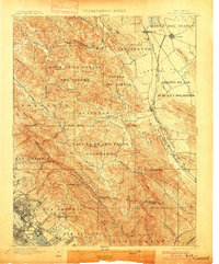
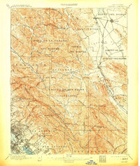
1897 Map of Concord
USGS Topo · Published 1900About this map
The Spanish land grant heritage of the East Bay is prominently displayed across this topographic study, with sprawling ranchos like Laguna De Los Palos Colorados and San Antonio Y Vicente Peralta defining the regional boundaries. The landscape is a network of ridges and narrow valleys, where small agricultural hubs like Lafayette and Walnut Creek are linked by the California and Nevada RR. In the southeast, the early urban footprint of Oakland and Alameda begins to take shape near Oakland Harbor, featuring now-incorporated neighborhoods such as Fruitvale and the aptly named Laundry Farm. To the north, the terrain transitions into the Ygnacio Valley, dominated by Monte Del Diablo and the settlement of Concord. This survey documents a critical period when massive ancestral land holdings were beginning to interface with the rapid expansion of the Southern Pacific RR and growing East Bay townships.
Find a feature on this map
94 named features on this map. Tap any name to fly to it.
Don’t see what you’re looking for? This feature index may not catch every label — zoom into the map to look around manually.
Map Details
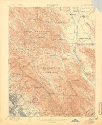
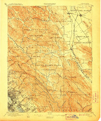
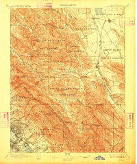
Editions of this 1897 Concord Map
6 editions found
Other maps of this area

1892 · San Mateo
USGS Topo · 1:62,500

1895 · San Francisco
USGS Topo · 1:62,500

1896 · San Mateo
USGS Topo · 1:62,500

1896 · Carquinez Strait
USGS Topo · 1:62,500

1896 · Mt. Diablo
USGS Topo · 1:62,500

1897 · Concord
USGS Topo · 1:62,500

1898 · Karquines
USGS Topo · 1:62,500

1898 · Mt. Diablo
USGS Topo · 1:62,500

1899 · San Francisco
USGS Topo · 1:62,500

1899 · Haywards
USGS Topo · 1:62,500