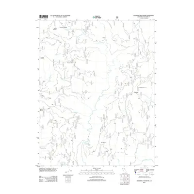
2012 Map of Duckwall Mountain
USGS Topo · Published 2012About this map
Duckwall Mountain and the adjacent Duckwall Ridge dominate this high-country landscape in Tuolumne County. This 2012 survey highlights a remote network of forest roads and natural clearings including Femmons Meadows, Bull Meadow, and Willow Meadow. The Clavey River cuts through the center of the terrain, joined by numerous drainages like Quilty Cr and Thirteenmile Cr. Historically significant points such as Walton Cabin Spring and Rackerby Jack Spring denote vital water sources in this wooded environment. The presence of Camp Fourty Five and the small settlement at Femmons indicates the area's utility for seasonal transit and mountain activities. This map provides a clear record of the complex system of forest routes, such as Cottonwood Rd and Forest Rte 1N01, as they existed in the early 21st century.
Find a feature on this map
54 named features on this map. Tap any name to fly to it.
Don’t see what you’re looking for? This feature index may not catch every label — zoom into the map to look around manually.
Map Details
Editions of this 2012 Duckwall Mountain Map
This is the sole edition of this map. No revisions or reprints were ever made.
Other maps of this area

1891 · Big Trees
USGS Topo · 1:125,000

1893 · Sonora
USGS Topo · 1:125,000

1894 · Big Trees
USGS Topo · 1:125,000

1896 · Dardanelles
USGS Topo · 1:125,000

1896 · Sonora
USGS Topo · 1:125,000

1897 · Sonora
USGS Topo · 1:125,000

1897 · Big Trees
USGS Topo · 1:125,000

1897 · Yosemite
USGS Topo · 1:125,000

1898 · Dardanelles
USGS Topo · 1:125,000

1898 · Sonora
USGS Topo · 1:125,000